Brasília
 |
 |
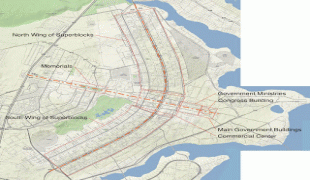
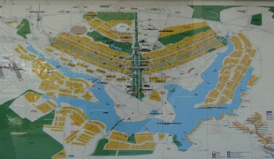
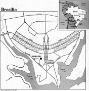
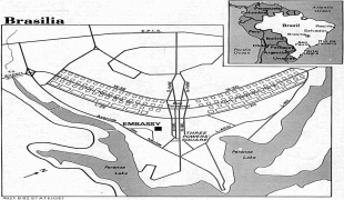
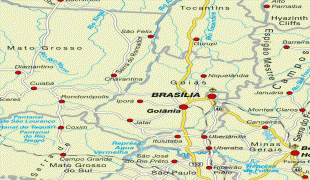
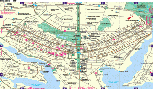
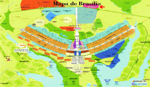
Brasília was a planned city developed by Lúcio Costa, Oscar Niemeyer and Joaquim Cardozo in 1956 in a scheme to move the capital from Rio de Janeiro to a more central location. The landscape architect was Roberto Burle Marx. The city's design divides it into numbered blocks as well as sectors for specified activities, such as the Hotel Sector, the Banking Sector, and the Embassy Sector. Brasília was inscribed as a UNESCO World Heritage Site in 1987 due to its modernist architecture and uniquely artistic urban planning. It was named "City of Design" by UNESCO in October 2017 and has been part of the Creative Cities Network since then.
All three branches of Brazil's federal government are centered in the city: executive, legislative and judiciary. Brasília also hosts 124 foreign embassies. The city's international airport connects it to all other major Brazilian cities and some international destinations, and it is the third-busiest airport in Brazil. It was one of the main host cities of the 2014 FIFA World Cup and hosted some of the football matches during the 2016 Summer Olympics; it also hosted the 2013 FIFA Confederations Cup.
The city has a unique status in Brazil, as it is an administrative division rather than a legal municipality like other cities in Brazil. Although Brasília is used as a synonym for the Federal District through synecdoche, the Federal District is composed of 33 administrative regions, only one of which is the area of the originally planned city, also called Plano Piloto. The rest of the Federal District is considered by IBGE to make up Brasília's metro area.
Map - Brasília
Map


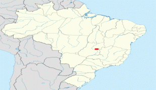
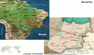
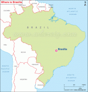
Country - Brazil


Currency / Language
| ISO | Currency | Symbol | Significant figures |
|---|---|---|---|
| BRL | Brazilian real | R$ | 2 |
| ISO | Language |
|---|---|
| EN | English language |
| FR | French language |
| PT | Portuguese language |
| ES | Spanish language |