British Virgin Islands (British Virgin Islands)
 |
 |
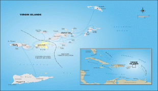
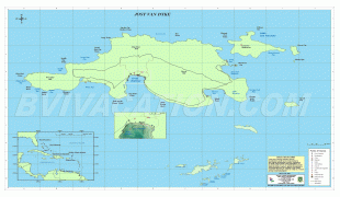
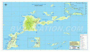
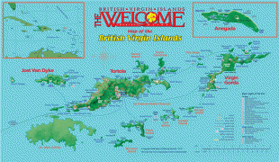
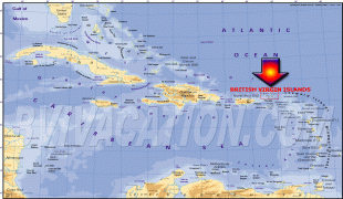
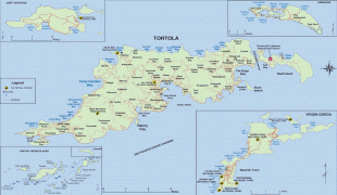
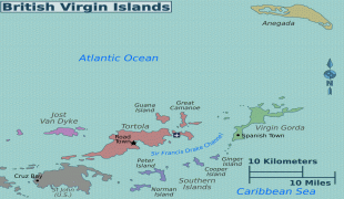
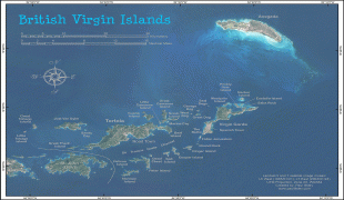
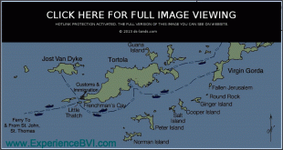
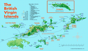
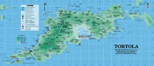
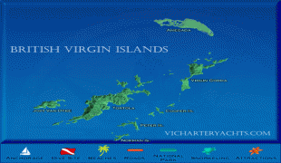
The British Virgin Islands consist of the main islands of Tortola, Virgin Gorda, Anegada and Jost Van Dyke, along with more than 50 other smaller islands and cays. About 16 of the islands are inhabited. The capital, Road Town, is on Tortola, the largest island, which is about 20 km long and 5 km wide. The islands had a population of 28,054 at the 2010 Census, of whom 23,491 lived on Tortola; current estimates put the population at 35,802 (July 2018).
British Virgin Islanders are British Overseas Territories citizens and since 2002, are also British citizens.
The islands were named "Santa Úrsula y las Once Mil Vírgenes" by Christopher Columbus in 1493 after the legend of Saint Ursula and the 11,000 virgins. The name was later shortened to "the Virgin Islands".
The official name of the territory is still simply the "Virgin Islands", but the prefix "British" is often used. This is commonly believed to distinguish it from the neighbouring American territory which changed its name from the "Danish West Indies" to "Virgin Islands of the United States" in 1917. However, local historians have disputed this, pointing to a variety of publications and public records dating from between 21 February 1857 and 12 September 1919 where the territory is referred to as the British Virgin Islands. British Virgin Islands government publications continue to begin with the name "The territory of the Virgin Islands", and the territory's passports simply refer to the "Virgin Islands", and all laws begin with the words "Virgin Islands". Moreover, the territory's Constitutional Commission has expressed the view that "every effort should be made" to encourage the use of the name "Virgin Islands". But various public and quasi-public bodies continue to use the name "British Virgin Islands" or "BVI", including BVI Finance, BVI Electricity Corporation, BVI Tourist Board, BVI Athletic Association, BVI Bar Association and others.
In 1968 the British Government issued a memorandum requiring that the postage stamps in the territory should say "British Virgin Islands" (whereas previously they had simply stated "Virgin Islands"), a practice which is still followed today. This was likely to prevent confusion following on from the adoption of US currency in the territory in 1959, and the references to US currency on the stamps of the territory.