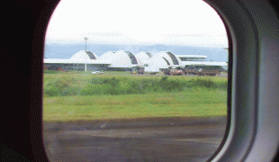
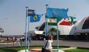
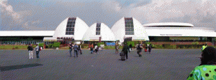
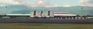
Bujumbura International Airport (Bujumbura International Airport)
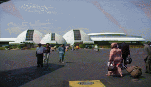
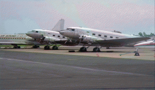
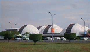
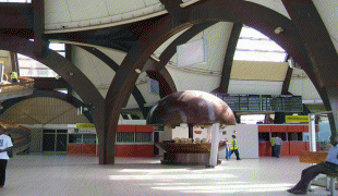
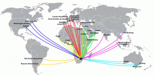
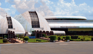
Melchior Ndadaye International Airport is an airport in Bujumbura, the former capital of Burundi. It is Burundi's only international airport and the only one with a paved runway.
The airport was opened in 1952. On 1 July 2019, the airport was renamed Melchior Ndadaye International Airport after the first democratically elected president of Burundi who was murdered in a coup d'état in October 1993, three months after being elected. This event sparked the decade-long Burundian Civil War.
The airport was opened in 1952. On 1 July 2019, the airport was renamed Melchior Ndadaye International Airport after the first democratically elected president of Burundi who was murdered in a coup d'état in October 1993, three months after being elected. This event sparked the decade-long Burundian Civil War.
| IATA Code | BJM | ICAO Code | HBBA | FAA Code | |
|---|---|---|---|---|---|
| Telephone | Fax | ||||
| Home page |
Map - Bujumbura International Airport (Bujumbura International Airport)
Map


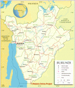
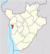
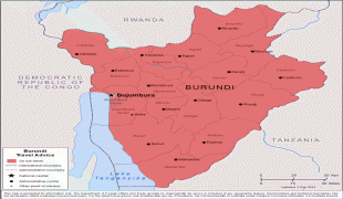
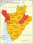
Country - Burundi
 |
 |
| Flag of Burundi | |
The Twa, Hutu and Tutsi peoples have lived in Burundi for at least 500 years. For more than 200 of those years, Burundi was an independent kingdom, until the beginning of the 20th century, when it became a German colony. After the First World War and Germany's defeat, the League of Nations "mandated" the territory to Belgium. After the Second World War, this transformed into a United Nations Trust Territory. Both Germans and Belgians ruled Burundi and Rwanda as a European colony known as Ruanda-Urundi. Burundi and Rwanda had never been under common rule until the time of European colonization of Africa.
Currency / Language
| ISO | Currency | Symbol | Significant figures |
|---|---|---|---|
| BIF | Burundian franc | Fr | 0 |
| ISO | Language |
|---|---|
| FR | French language |
| RN | Rundi language |