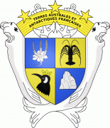
French Southern and Antarctic Lands (French Southern and Antarctic Lands)
 |
 |
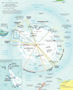
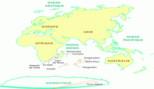
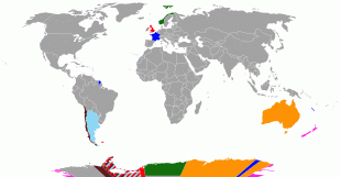
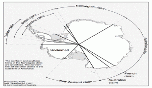
* 1) Adélie Land (Terre Adélie), the French claim on the continent of Antarctica.
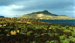
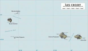
* 2) Crozet Islands (Îles Crozet), a group in the southern Indian Ocean, south of Madagascar.
* 3) Kerguelen Islands (Archipel des Kerguelen), a group of volcanic islands in the southern Indian Ocean, southeast of Africa.
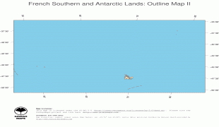
* 4) Saint Paul and Amsterdam Islands (Îles Saint Paul et Amsterdam), a group to the north of the Kerguelen Islands.
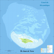
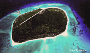
* 5) The Scattered Islands (Îles Éparses), a dispersed group of islands around the coast of Madagascar.
The territory is sometimes referred to as the French Southern Lands (Terres australes françaises) or the French Southern Territories, usually to emphasize non-recognition of French sovereignty over Adélie Land as part of the Antarctic Treaty System.
The entire territory has no permanently settled inhabitants. Approximately 150 (in the winter) to 310 (in the summer) people are usually present in the French Southern and Antarctic Lands at any time, but they are mainly made up of military personnel, officials, scientific researchers and support staff.
On July 5, 2019, the Crozet, Kerguelen, and Saint Paul and Amsterdam Islands were inscribed as a UNESCO World Heritage Site as the "French Austral Lands and Seas" because of their pristine wilderness, biodiversity, and enormous bird colonies.
Several of the islands within this territory were originally discovered as part of the sea route to India. The Portuguese discovered Île Saint-Paul in the sixteenth century; in the seventeenth century, the Dutch became the first to land on (and name) Île Amsterdam. The French discovered the Crozet Islands some time later, in the eighteenth century; the other islands were also first explored by Europeans in this time frame.


