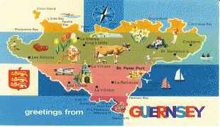
Guernsey (Bailiwick of Guernsey)
 |
 |
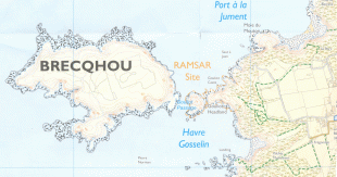
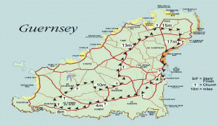
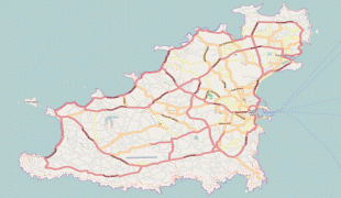
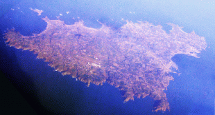
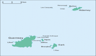
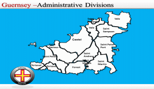
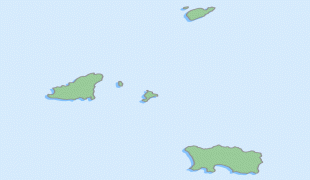
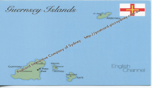
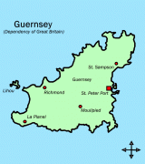
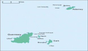
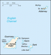
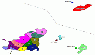
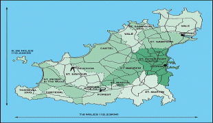
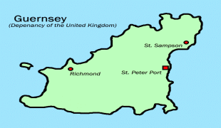
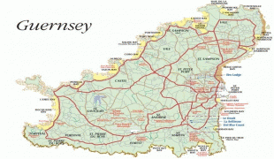
It is the second largest of the Channel Islands, an island group roughly north of Saint-Malo and west of the Cotentin Peninsula. The jurisdiction consists of ten parishes on the island of Guernsey, three other inhabited islands (Herm, Jethou and Lihou), and many small islets and rocks.
It is not part of the United Kingdom, although defence and some aspects of international relations are managed by the UK. Although the bailiwicks of Jersey and Guernsey are often referred to collectively as the Channel Islands, the "Channel Islands" are not a constitutional or political unit. Jersey has a separate relationship to the Crown from the other Crown dependencies of Guernsey and the Isle of Man, although all are held by the monarch of the United Kingdom.
The island has a mixed British-Norman culture, although British cultural influence is stronger, with English being the main language and the pound sterling its primary currency. The island has a traditional local language known as Guernésiais.
The island's name, "Guernsey", like that of neighbouring "Jersey", is of Old Norse origin. The second element of each word, "-ey", is the Old Norse for "island", while the original root, "guern(s)", is of uncertain origin and meaning, possibly deriving from either a personal name such as Grani or Warinn, or from gron, meaning pine tree.
Previous names for the Channel Islands vary over history, but include the Lenur islands, and Sarnia; Sarnia is the Latin name for Guernsey, or Lisia (Guernsey) and Angia (Jersey).