Gwadar International Airport (Gwadar International Airport)
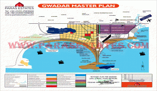
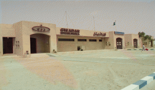
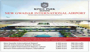
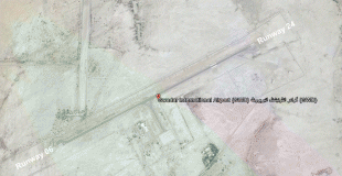
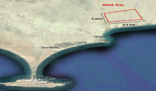
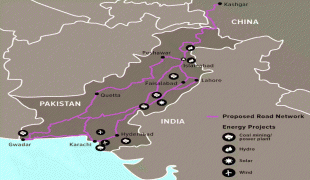
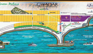
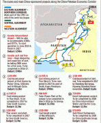
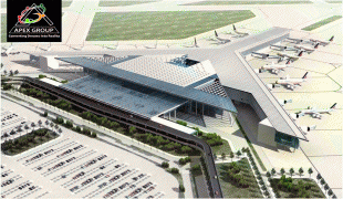
Gwadar International Airport (Balochi: بالی پٹ گوادر, ) is an international airport situated 14 km (9 miles) north of the city centre of Gwadar, in the Balochistan province of Pakistan.
In 1958, the town of Gwadar was purchased by Government of Pakistan from the Sultan of Muscat. Air operations started in 1966. The airport gained international status when two weekly flights from Karachi to Muscat via Gwadar were initiated with Fokker F-27 aircraft. The terminal building was inaugurated in 1984 and new departure/VIP lounges opened in 2008.
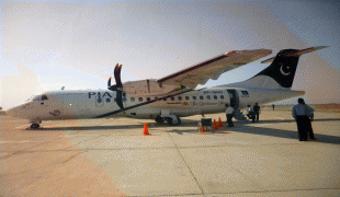
The current airport caters mainly to the population of Gwadar. Pakistan International Airlines, the main airline flying out of the airport, connects Gwadar to Karachi, Turbat, Quetta, Peshawar, Islamabad, Lahore, Dubai, Doha, Kuwait City, Riyadh, Tehran, Mashhad, Bahrain and Muscat. Other airlines had recently launched their flights to Gwadar and currently had been doing pretty well due to successful performance. These included Oman Air, which flew to Muscat using ATR 42 aircraft, and airblue, which started twice daily flights to Karachi through its joint venture partner JS Air.
Map - Gwadar International Airport (Gwadar International Airport)
Map
Country - Pakistan
 |
 |
| Flag of Pakistan | |
Pakistan is the site of several ancient cultures, including the 8,500-year-old Neolithic site of Mehrgarh in Balochistan, the Indus Valley civilisation of the Bronze Age, the most extensive of the civilisations of the Afro-Eurasia, and the ancient Gandhara civilization. The region that comprises the modern state of Pakistan was the realm of multiple empires and dynasties, including the Achaemenid; briefly that of Alexander the Great; the Seleucid, the Maurya, the Kushan, the Gupta; the Umayyad Caliphate in its southern regions, the Hindu Shahis, the Ghaznavids, the Delhi Sultanate, the Mughals, the Durranis, the Omani Empire, the Sikh Empire, British East India Company rule, and most recently, the British Indian Empire from 1858 to 1947.
Currency / Language
| ISO | Currency | Symbol | Significant figures |
|---|---|---|---|
| PKR | Pakistani rupee | ₨ | 2 |
| ISO | Language |
|---|---|
| EN | English language |
| PA | Panjabi language |
| PS | Pashto language |
| SD | Sindhi language |
| UR | Urdu |


