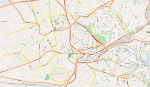
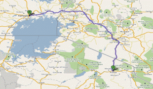
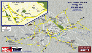
Kampala
Kampala is the capital and largest city of Uganda. The city proper has a population of 1,680,000 and is divided into the five political divisions of Kampala Central Division, Kawempe Division, Makindye Division, Nakawa Division, and Rubaga Division.
Kampala's metropolitan area consists of the city proper and the neighboring Wakiso District, Mukono District, Mpigi District, Buikwe District and Luweero District. It has a rapidly growing population that is estimated at 6,709,900 people in 2019 by the Uganda Bureau of Statistics in an area of 8,451.9 km2.
In 2015, this metropolitan area generated an estimated nominal GDP of $13.80221 billion (constant US dollars of 2011) according to Xuantong Wang et al., which was more than half of Uganda's GDP for that year, indicating the importance of Kampala to Uganda's economy.
Kampala is reported to be among the fastest-growing cities in Africa, with an annual population growth rate of 4.03 percent, by City Mayors. Mercer (a New York-based consulting firm) has regularly ranked Kampala as East Africa's best city to live in, ahead of Nairobi and Kigali.
Kampala originally referred to only the present-day Old Kampala hill, on whose summit Fort Lugard was located, and the initial headquarters of the British colonial authorities in the soon to be Uganda Protectorate.
Before the British construction of Fort Lugard, the hill was a hunting reserve of the Kabaka (King) of Buganda and had several species of antelope, especially the impala. As a result, when the British colonial officials were allocated this hill by the then Kabaka (King) of Buganda, they referred to it as "The Hill of the Impala".
The Baganda, in whose territory this British settlement was located, then translated "Hill of the Impala" as Akasozi ke'Empala. This was then shortened to K'empala and finally Kampala. Kasozi means "hill", ke "of", and empala the plural of "impala". Hence the name "Kampala" came to refer to this initial British colonial settlement that would later on spread out from the occupied Old Kampala hill near the pre-existing Kibuga (capital) of the Buganda Kingdom.
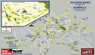
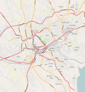
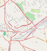
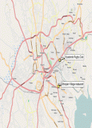
Map - Kampala
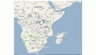
Map


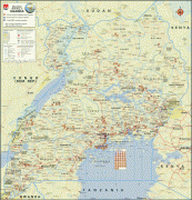


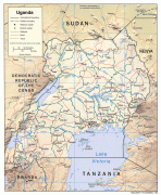

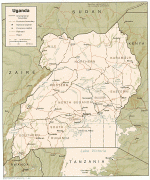

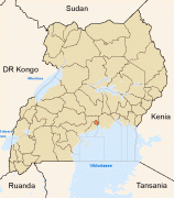
Country - Uganda
 |
|
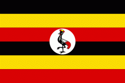
| Flag of Uganda | |
Uganda is named after the Buganda kingdom, which encompasses a large portion of the south of the country, including the capital Kampala and whose language Luganda is widely spoken throughout the country. From 1894, the area was ruled as a protectorate by the United Kingdom, which established administrative law across the territory. Uganda gained independence from the UK on 9 October 1962. The period since then has been marked by violent conflicts, including an eight-year-long military dictatorship led by Idi Amin.
Currency / Language
| ISO | Currency | Symbol | Significant figures |
|---|---|---|---|
| UGX | Ugandan shilling | Sh | 0 |
| ISO | Language |
|---|---|
| AR | Arabic language |
| EN | English language |
| LG | Ganda language |
| SW | Swahili language |