Kosrae International Airport (Kosrae International Airport)
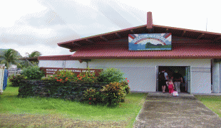
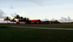
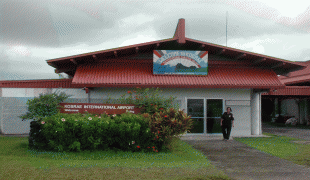
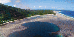
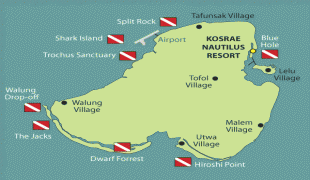
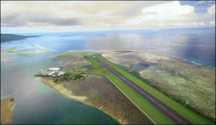
Kosrae International Airport is an airport serving Kosrae, the easternmost state of the Federated States of Micronesia. It is located on an artificial island within the fringing reef about 150 meters from the coast and is connected to the main island by a causeway.
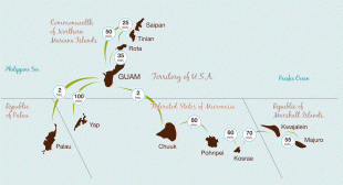
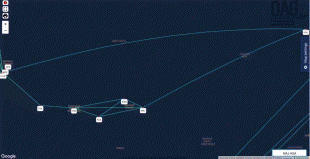
The airport has been continuously served by the United Airlines (formerly Continental Micronesia) Island Hopper service between Guam and Honolulu, which stops twice weekly at Kosrae in each direction. Kosrae is three jogs from both Guam and Honolulu. As of June 2015, Nauru Airlines stops at Kosrae once a week in each direction between Nauru and Chuuk.
The airport has been continuously served by the United Airlines (formerly Continental Micronesia) Island Hopper service between Guam and Honolulu, which stops twice weekly at Kosrae in each direction. Kosrae is three jogs from both Guam and Honolulu. As of June 2015, Nauru Airlines stops at Kosrae once a week in each direction between Nauru and Chuuk.
| IATA Code | KSA | ICAO Code | PTSA | FAA Code | |
|---|---|---|---|---|---|
| Telephone | Fax | ||||
| Home page |
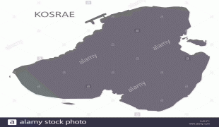
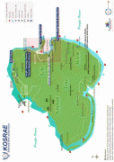
Map - Kosrae International Airport (Kosrae International Airport)
Map


Country - Federated_States_of_Micronesia
 |
 |
| Flag of the Federated States of Micronesia | |
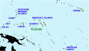
While the FSM's total land area is quite small, the country's waters occupy nearly 3 e6km2 of the Pacific Ocean, giving the country the 14th-largest exclusive economic zone in the world. The sovereign island nation's capital is Palikir, located on Pohnpei Island, while the largest city is Weno, located in the Chuuk Atoll.
Currency / Language
| ISO | Currency | Symbol | Significant figures |
|---|---|---|---|
| USD | United States dollar | $ | 2 |
| ISO | Language |
|---|---|
| EN | English language |