Manama
Although the current twin cities of Manama and Muharraq appear to have been founded simultaneously in the 1800s, Muharraq took prominence due to its defensive location and was thus the capital of Bahrain until 1923. Manama became the mercantile capital and was the gateway to the main Bahrain Island. In the 20th century, Bahrain's oil wealth helped spur fast growth and in the 1990s a concerted diversification effort led to expansion in other industries and helped transform Manama into an important financial hub in the Middle East. Manama was designated as the 2012 capital of Arab culture by the Arab League, and a beta global city by the Globalization and World Cities Research Network in 2018.
The name is derived from the Arabic word المنامة (al-Manãma) meaning "the place of rest" or "the place of dreams".
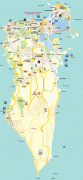
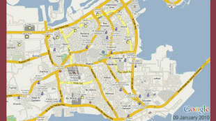
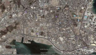
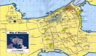
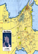
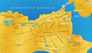
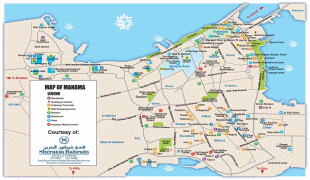
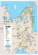
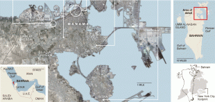
Map - Manama
Map


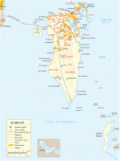
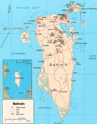


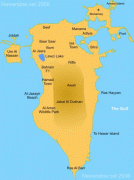
Country - Bahrain
 |
 |
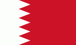
| Flag of Bahrain | |
Bahrain is the site of the ancient Dilmun civilization. It has been famed since antiquity for its pearl fisheries, which were considered the best in the world into the 19th century. Bahrain was one of the earliest areas to be influenced by Islam, during the lifetime of Muhammad in 628 AD. Following a period of Arab rule, Bahrain was ruled by the Portuguese Empire from 1521 until 1602, when they were expelled by Shah Abbas I of the Safavid dynasty. In 1783, the Bani Utbah clan captured Bahrain from Nasr Al-Madhkur and it has since been ruled by the Al Khalifa royal family, with Ahmed al Fateh as Bahrain's first hakim.
Currency / Language
| ISO | Currency | Symbol | Significant figures |
|---|---|---|---|
| BHD | Bahraini dinar | د.ب | 3 |
| ISO | Language |
|---|---|
| AR | Arabic language |
| EN | English language |
| FA | Persian language |
| UR | Urdu |