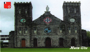
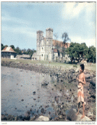
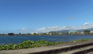
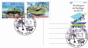
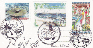
Mata-Utu
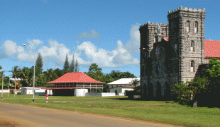
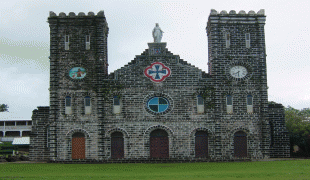
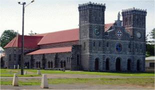
The most prominent landmarks in the town are the Matâ'Utu Cathedral, the palace next to it and backdrop of the Mt. Lulu Fakahega where there is an old chapel.
In medieval times, Tuʻi Tonga invaders waged war against the islanders and took control. They installed the first chiefs, and called them the Uveas, which became the ruling dynasty of the two islands; they are based at Mata-Utu to this day. During recent archaeological excavations of the area, fortifications built by the Tongans (circa the Middle Ages) were unearthed, at nearby Talierumu and Malama Tagata.
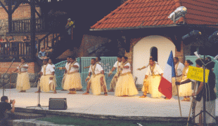
Catholic missionaries, who came to the island in 1837, ensured that the entire population of the islands was converted to Christianity, in a short period of five years. During this time, missionaries not only protected the islanders from the “highhandedness” of the Europeans, but also ensured that a number of churches were built; mainly at Mata-Utu, but also at Mu’a and Vaitupu islands.
In the 19th century, Mata-Utu was developed into a town from a small native village, by the French (who installed most of Wallis & Futuna's major facilities). Historically, pigs, poultry, yams, bananas, and coconut were available to arriving boats. During World War II, the Free French sloop Chevreuil landed a detachment of French Marines at Mata-Utu. A small skirmish ensued, after which Vichy French dissidents were taken captive, and the island’s radio communications centre was overtaken. Francis Fox Parry of the 1st Battalion of the 11th Marines also landed here.
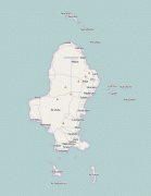
Map - Mata-Utu
Map


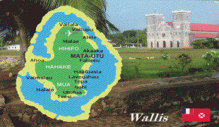


Country - Wallis_and_Futuna
 |
 |
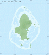
Mata Utu is its capital and largest city. Its land area is 142.42 km2. It had a population of 11,558 at the 2018 census (down from 14,944 at the 2003 census). The territory is made up of three main volcanic tropical islands and a number of tiny islets. It is divided into two island groups that lie about 260 km apart: the Wallis Islands (also known as Uvea) in the northeast; and the Hoorn Islands (also known as the Futuna Islands) in the southwest, including Futuna Island proper and the mostly uninhabited Alofi Island.
Currency / Language
| ISO | Currency | Symbol | Significant figures |
|---|---|---|---|
| XPF | CFP franc | â‚£ | 0 |
| ISO | Language |
|---|---|
| FR | French language |