Map - Miyagi Prefecture (Miyagi-ken)

Miyagi Prefecture (Miyagi-ken)
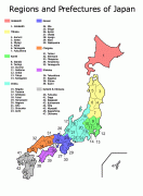
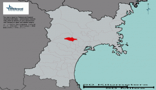
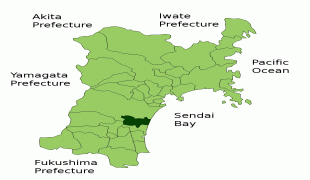
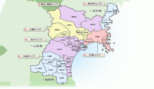
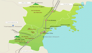
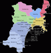
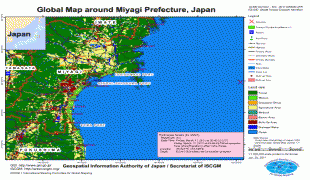
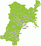
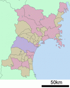
Miyagi Prefecture (宮城県) is a prefecture of Japan located in the Tōhoku region of Honshu. Miyagi Prefecture has a population of 2,305,596 (1 June 2019) and has a geographic area of 7,282 sqkm. Miyagi Prefecture borders Iwate Prefecture to the north, Akita Prefecture to the northwest, Yamagata Prefecture to the west, and Fukushima Prefecture to the south.

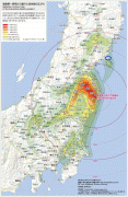
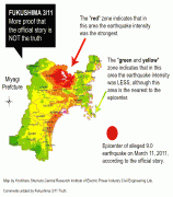
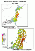
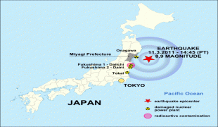
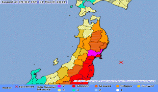
Sendai is the capital and largest city of Miyagi Prefecture, and the largest city in the Tōhoku region, with other major cities including Ishinomaki, Ōsaki, and Tome. Miyagi Prefecture is located on Japan's eastern Pacific coast and bounded to the west by the Ōu Mountains, the longest mountain range in Japan, with 24% of its total land area being designated as Natural Parks. Miyagi Prefecture is home to Matsushima Islands, a group of islands ranked as one of the Three Views of Japan, near the town of Matsushima. On 7 April, 2011 the biggest earthquake in Japan occurred.

Miyagi Prefecture was formerly part of the province of Mutsu.

 
Map - Miyagi Prefecture (Miyagi-ken)
Map
Openstreetmap - Map - Miyagi Prefecture
Openstreetmap
japan-map.jpg
2480x3372
shizuokagourmet.file...
JP_Miyagi_Prefecture...
1496x1009
wikitravel.org
Japan-radiation-map....
960x1479
www.infiniteunknown....
miyagi-2.png
1106x1262
311truth.files.wordp...
natori_in_miyagi_pre...
901x901
gulfofmexicooilspill...
Natori_in_Miyagi_Pre...
901x901
images1.wikia.nocook...
Natori_in_Miyagi_Pre...
901x901
static1.wikia.nocook...
Natori_in_Miyagi_Pre...
901x901
img1.wikia.nocookie....
p02.gif
685x1007
www.jishin.go.jp
map_miyagi.jpg
950x660
www.eheya.net
miyagi-tsunami2.png
865x684
publicintelligence.n...
jp_earth_quake2011.p...
671x600
blogs.voanews.com
miyagi_i.gif
600x600
travel.rakuten.co.jp
map-miyagi-prefectur...
590x610
henridaros.files.wor...
89269-map.png
680x481
img.static.reliefweb...
prefecture_map_miyag...
522x586
www.reconstruction.g...
20110311150145384-11...
600x490
www.emsc-csem.org
Miyagi_Prefecture.pn...
478x599
japan.resiliencesyst...
prefectures.gif
497x533
ecoslva1.files.wordp...
prefectures.gif
497x533
jenninjapan.files.wo...
Country - Japan
Flag of Japan
Japan (日本, or, and formally 日本国, Nihonkoku) is an island country in East Asia. It is situated in the northwest Pacific Ocean and is bordered on the west by the Sea of Japan, extending from the Sea of Okhotsk in the north toward the East China Sea, Philippine Sea, and Taiwan in the south. Japan is a part of the Ring of Fire, and spans an archipelago of 6852 islands covering 377,975 km2; the five main islands are Hokkaido, Honshu (the "mainland"), Shikoku, Kyushu, and Okinawa. Tokyo is the nation's capital and largest city, followed by Yokohama, Osaka, Nagoya, Sapporo, Fukuoka, Kobe, and Kyoto.

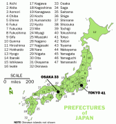
Japan is the eleventh most populous country in the world, as well as one of the most densely populated and urbanized. About three-fourths of the country's terrain is mountainous, concentrating its population of 124.8 million on narrow coastal plains. Japan is divided into 47 administrative prefectures and eight traditional regions. The Greater Tokyo Area is the most populous metropolitan area in the world, with more than 37.2 million residents.
Currency / Language  
ISO Currency Symbol Significant figures
JPY Japanese yen ¥ 0
ISO Language
JA Japanese language
Neighbourhood - Country  
Airport