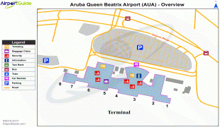
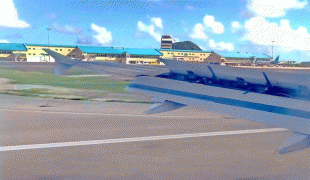
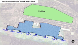
Queen Beatrix International Airport (Queen Beatrix International Airport)
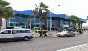
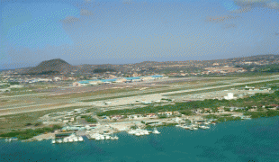
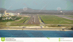
Queen Beatrix International Airport (Internationale luchthaven Koningin Beatrix; Aeropuerto Internacional Reina Beatrix), colloquially known as Aruba Airport, is an international airport located in Oranjestad, Aruba. It has flight services to the United States, several countries in the Caribbean, the northern coastal countries of South America, Canada, as well as some parts of Europe, notably the Netherlands. It is named after Beatrix of the Netherlands, who was Queen of the Netherlands from 1980 to 2013.
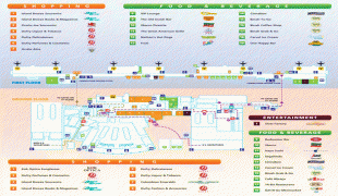
The airport offers United States border preclearance facilities. A terminal for private aircraft opened in 2007. The airport used to serve as the hub for bankrupt airline Air Aruba, which was for many years an international airline. Before Aruba's separation from the Netherlands Antilles in 1986 it was also one of three hubs for ALM Antillean Airlines as well as a home base for Tiara Air until 2016.
Since 2013 the airport is home to Aruba Airlines, a local airline. The airline has three Airbus A320 family aircraft and two Bombardier CRJ200. The main focus of Aruba Airlines is connecting the region through its hub.
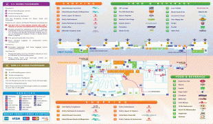
| IATA Code | AUA | ICAO Code | TNCA | FAA Code | |
|---|---|---|---|---|---|
| Telephone | 002975242424 | Fax | (+297) 5834229 | ||
| Home page | Hyperlink |
Map - Queen Beatrix International Airport (Queen Beatrix International Airport)
Map


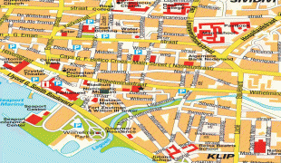
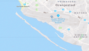
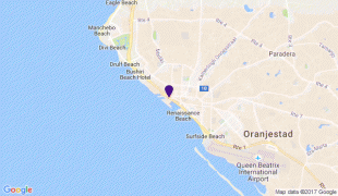
Country - Aruba
 |
 |
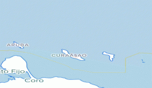
Aruba is one of the four countries that form the Kingdom of the Netherlands, along with the Netherlands, Curaçao, and Sint Maarten; the citizens of these countries are all Dutch nationals. Aruba has no administrative subdivisions, but, for census purposes, is divided into eight regions. Its capital is Oranjestad. Unlike much of the Caribbean region, Aruba has a dry climate and an arid, cactus-strewn landscape. The relatively warm and sunny weather, and the climate allow for related tourism activities all year round. Its area is 179 km2 and it is quite densely populated, with 108,166 inhabitants per the 2020 census.
Currency / Language
| ISO | Currency | Symbol | Significant figures |
|---|---|---|---|
| AWG | Aruban florin | Æ’ | 2 |
| ISO | Language |
|---|---|
| NL | Dutch language |
| EN | English language |
| ES | Spanish language |