Map - Saint Helier (Saint Helier)

Saint Helier (Saint Helier)
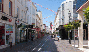
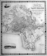
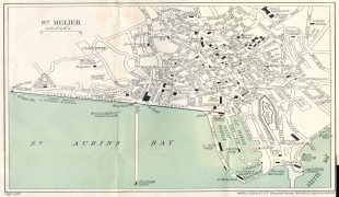
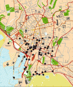
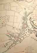
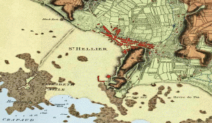
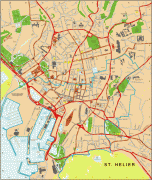
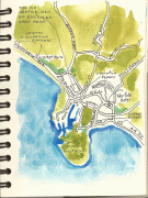
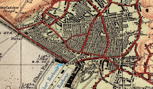
St Helier (Jèrriais: Saint Hélyi; Saint-Hélier) is one of the twelve parishes of Jersey, the largest of the Channel Islands in the English Channel. St Helier has a population of 35,822 – over one-third of the total population of Jersey – and is the capital of the island. The town of St Helier is the largest settlement and only town of Jersey. The town consists of the built-up areas of St Helier, including First Tower, and parts of the parishes of St Saviour and St Clement, with further suburbs in surrounding parishes. The greater part of St Helier is rural.

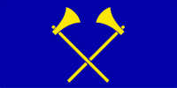
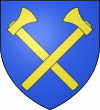
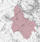
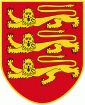
The parish covers a surface area of 4.1 sqmi, being 9% of the total land area of the island (this includes reclaimed land area of 494 acre or 200 ha). The growth of the town has been described as "spasmodic", its expansion reflecting waves of migration to the island. The parish arms are two crossed gold axes on a blue background, the blue symbolising the sea, and the axes symbolising the martyrdom of Helier at the hands of Saxon pirates in 555 AD.

 
Map - Saint Helier (Saint Helier)
Map
Google Earth - Map - Saint Helier
Google Earth
Openstreetmap - Map - Saint Helier
Openstreetmap
King_Street,_St_Heli...
3835x2557
upload.wikimedia.org
35797.jpg
1337x1600
www.jpmaps.co.uk
Map_of_St_Helier_183...
1337x1600
upload.wikimedia.org
pink_and_white_map_a...
1368x1468
www.heliermemories.o...
Map%2Bof%2BSt%2BHeli...
1500x1234
1.bp.blogspot.com
Map+of+St+Helier+193...
1500x1234
1.bp.blogspot.com
Hermitage_St_Helier_...
1290x1041
upload.wikimedia.org
StHelier-new-2011_wi...
1000x1197
www.vingtaine.org
Map-Momonier-1787b.j...
764x1100
www.theislandwiki.or...
StHelier1790.jpg
800x705
www.theislandwiki.or...
GallaherArchitects-M...
912x528
www.architects.je
GBC+map(1).jpg
608x720
1.bp.blogspot.com
St-Helier-Map.gif
592x701
mappery.com
St-Helier-Map.gif
592x701
www.mappery.com
St-Helier-map.jpg
650x635
www.theislandwiki.or...
St-Helier-map.jpg
650x635
2.bp.blogspot.com
map1.gif
598x653
www.disused-stations...
StHelierMap1691.jpg
800x475
www.theislandwiki.or...
7651196966_87e74eeb6...
481x640
farm9.staticflickr.c...
map.gif
598x502
www.disused-stations...
Country - Jersey
Jersey (Jèrri ), also known as the Bailiwick of Jersey, is an island country and self-governing British Crown Dependency near the coast of north-west France. It is the largest of the Channel Islands and is 14 mi from the Cotentin Peninsula in Normandy. The Bailiwick consists of the main island of Jersey and some surrounding uninhabited islands and rocks including Les Dirouilles, Les Écréhous, Les Minquiers, and Les Pierres de Lecq.

Jersey was part of the Duchy of Normandy, whose dukes became kings of England from 1066. After Normandy was lost by the kings of England in the 13th century, and the ducal title surrendered to France, Jersey remained loyal to the English Crown, though it never became part of the Kingdom of England.
Currency / Language  
ISO Currency Symbol Significant figures
GBP Pound sterling £ 2
Neighbourhood - Country