San Marino (Repubblica di San Marino)
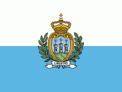 |
 |
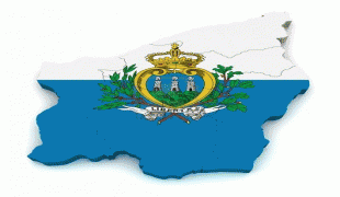
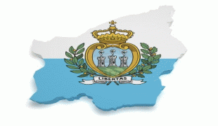
| Flag of San Marino | |
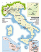
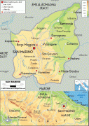
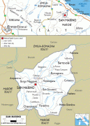
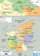
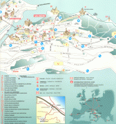
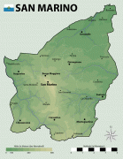
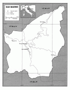
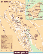
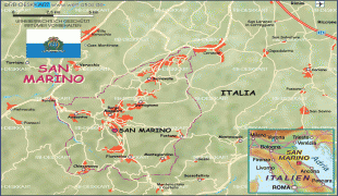
San Marino is a landlocked country; however, its northeastern end is within 10 km of the Italian city of Rimini on the Adriatic coast. The nearest airport is also in Italy. The country's capital city, the City of San Marino, is located atop Monte Titano, while its largest settlement is Dogana within the largest municipality of Serravalle. San Marino's official language is Italian.
The country derives its name from Saint Marinus, a stonemason from the then-Roman island of Rab in present-day Croatia. Born in AD 275, Marinus participated in the rebuilding of Rimini's city walls after their destruction by Liburnian pirates. Marinus then went on to found an independently ruled monastic community on Monte Titano in AD 301; thus, San Marino lays claim to being the oldest extant sovereign state, as well as the oldest constitutional republic.
Uniquely, San Marino's constitution dictates that its democratically elected legislature, the Grand and General Council, must elect two heads of state every six months. Known as captains regent, the two heads of state serve concurrently and hold equal powers until their term expires after six months.
The country's economy is mainly based on finance, industry, services, retail, and tourism. It is one of the wealthiest countries in the world in GDP per capita, with a figure comparable to the most developed European regions. Its health care system ranks 3rd in the World Health Organization first ever analysis of the world's health systems. Despite this fact, ranking 44th, its Human Development Index score is the lowest in Western Europe.
Saint Marinus left the island of Rab in present-day Croatia with his lifelong friend Leo, and went to the city of Rimini as a stonemason. After the Diocletianic Persecution following his Christian sermons, he escaped to the nearby Monte Titano, where he built a small church and thus founded what is now the city and state of San Marino.
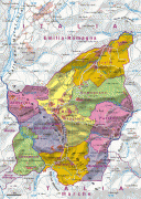
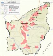
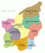
The official founding date is 3 September 301 AD. In 1320, the community of Chiesanuova chose to join the country. In 1463, San Marino was enlarged to include the communities of Faetano, Fiorentino, Montegiardino, and Serravalle, since when the country's borders have remained unchanged.
In 1503, Cesare Borgia, the son of Pope Alexander VI, occupied the Republic for six months until his father's successor, Pope Julius II, intervened and restored the country's independence.
On 4 June 1543, Fabiano di Monte San Savino, nephew of the later Pope Julius III, attempted to conquer the republic, but his infantry and cavalry failed as they got lost in a dense fog, which the Sammarinese attributed to Saint Quirinus, whose feast day it was.
After the Duchy of Urbino was annexed by the Papal States in 1625, San Marino became an enclave within the Papal States. This led to its seeking the formal protection of the Papal States in 1631, but this never amounted to a de facto Papal control of the republic.
Currency / Language
| ISO | Currency | Symbol | Significant figures |
|---|---|---|---|
| EUR | Euro | € | 2 |
| ISO | Language |
|---|---|
| IT | Italian language |