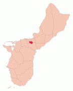
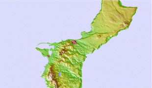
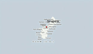
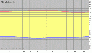
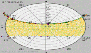
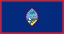
Guam (Guåhan ) is an organized, unincorporated territory of the United States in the Micronesia subregion of the western Pacific Ocean. Guam's capital is Hagåtña, and the most populous village is Dededo. It is the westernmost point and territory of the United States, reckoned from the geographic center of the U.S.. In Oceania, Guam is the largest and southernmost of the Mariana Islands and the largest island in Micronesia.
People born on Guam are American citizens but are politically disenfranchised, having no vote in the United States presidential elections while residing on Guam. Guam delegates to the United States House of Representatives have no vote on the floor. Indigenous Guamanians are the Chamoru, historically known as the Chamorro, who are related to the Austronesian peoples of Malay archipelago, the Philippines, Taiwan, and Polynesia. But unlike most of its neighbors, Chamorro language is not classified as a Micronesian or Polynesian language. Rather, like Palauan, it possibly constitutes an independent branch of the Malayo-Polynesian language family. As of 2022, Guam's population is 168,801. Chamorros are the largest ethnic group, but a minority on the multi-ethnic island. The territory spans 210 mi2 and has a population density of 775 /mi2. The Chamorro people settled the island approximately 3,500 years ago. Portuguese explorer Ferdinand Magellan, while in the service of Spain, was the first European to visit the island on March 6, 1521. Guam was colonized by Spain in 1668. Between the 16th and 18th centuries, Guam was an important stopover for the Spanish Manila Galleons. During the Spanish–American War, the United States captured Guam on June 21, 1898. Under the 1898 Treaty of Paris, Spain ceded Guam to the U.S. effective April 11, 1899.