St. Catherine International Airport (St. Catherine International Airport)
St. Catherine International Airport is an airport serving St. Catherine (or St. Katherine ), Saint Katherine city in the South Sinai Governorate of Egypt. It is located about 20 km (12 mi.) northeast of the city, which is near Mount Sinai.
There are currently no scheduled services to and from the airport. In 2011, the airport served 247 passengers (-72.6% vs. 2010).
There are currently no scheduled services to and from the airport. In 2011, the airport served 247 passengers (-72.6% vs. 2010).
Map - St. Catherine International Airport (St. Catherine International Airport)
Map


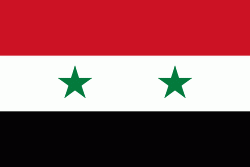
Country - United_Arab_Republic
 |
 |
| Flag of Egypt | |
The republic was led by Egyptian President Gamal Abdel Nasser. The UAR was a member of the United Arab States, a loose confederation with the Mutawakkilite Kingdom of Yemen, which was dissolved in 1961.
Currency / Language
| ISO | Currency | Symbol | Significant figures |
|---|---|---|---|
| EGP | Egyptian pound | £ or جم | 2 |
| ISO | Language |
|---|---|
| AR | Arabic language |
| EN | English language |
| FR | French language |