코모로 (Union of the Comoros)
 |
 |
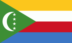
| 코모로의 국기 | |
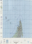
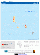
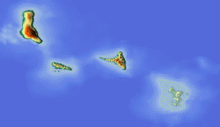
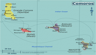
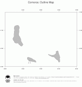
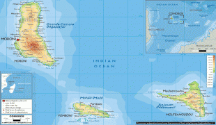
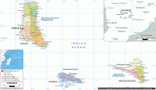
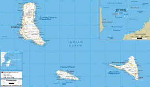
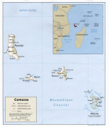
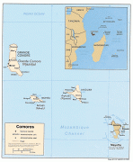
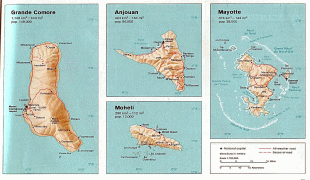
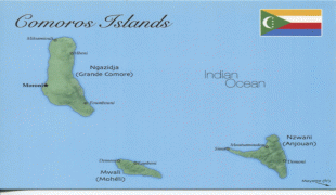
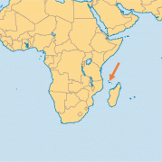
코모로는 아프리카 대륙과 마다가스카르 섬 중간에 있는 화산섬 무리로 구성된다. 프랑스 해외령으로 있었는데, 1974년 주민투표에서 국토를 구성하는 4개 도서 중 마요트만 프랑스령으로 잔류할 것을 결정했고 나머지 3개 섬인 그랑드코모르섬과 모엘리섬, 앙주앙섬은 독립을 선택하여 1975년 주민의회가 일방적으로 독립을 선언했다. 마요트 주민은 가톨릭, 다른 3개 도민은 이슬람교를 믿으며 공용어는 코모로어, 아랍어, 프랑스어이다. 삼림이 많고 5월 ~ 10월의 건조기 외에는 고온 다습하여 바닐라·코프라·코코넛·사이잘삼(麻)이 생산되며, 바닐라의 생산량은 세계 제1위이다.