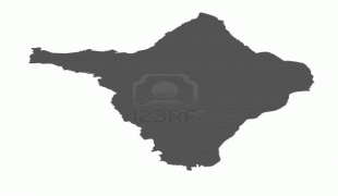
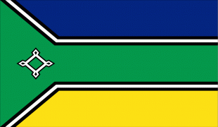
Amapá
 |
 |
In the colonial period the region was called Portuguese Guiana and was part of Portugal's State of Brazil. Later, the region was distinguished from the other Guianas. Amapá was once part of Pará, but became a separate territory in 1943, and a state in 1990.
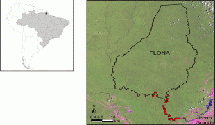
The dominant feature of the region, and 90 percent of its total area, is the Amazon Rainforest. Unexplored forests occupy 70 percent of Amapá, and Tumucumaque Mountains National Park, established in 2002, is the largest tropical forest park in the world. The estuary of the River Oiapoque is the northernmost point of coastal Brazil.
During the colonial era from 1637 to 1654 the Amapá region was merged into the Captaincy of Pará, this was the Captaincy of Cabo de Norte. In the early colonial period the Amapá region was a rich source of lumber, resins, annatto, vegetable oils, and salted fish, all of which were exported to Europe. The French established sugarcane plantations in this period.
With the discovery of mineral deposits the Amapá region was invaded by the English and Dutch, who were ultimately repelled by the Portuguese. The Treaty of Utrecht in 1713 established the boundaries between the colony of Brazil and French Guiana, but these were not respected by the French. A fort was constructed at São José de Macapá, in present-day Macapá, as a base of Portuguese power in the region. In the 18th century, France retook control of the area. This international dispute continued until 1900.
With the discovery of gold and the increasing value of rubber on the international market during the 19th century, outsider population increased in Amapá and the territorial dispute with France was brought to a head. French settlers established the State of Counani (1886–1891). The gold rush however brought in Brazilian interests who gained control of the territory, which led to clashes with the French. The dispute was sent for arbitration and on 1 December 1900, the Arbitration Commission of Geneva awarded possession of the territory to Brazil. It was incorporated into the state of Pará, with the joint name of Araguari (named for the river of the same name). It became the federal territory of Amapá in 1943.
The discovery of rich manganese deposits in Serra do Navio in 1945 revolutionized the local economy. Manganese remains the largest source of revenue in the state. Amapá did not achieve statehood until 5 October 1988, at the time of the promulgation of the new Brazilian Constitution.
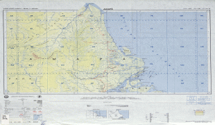
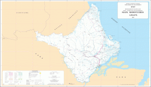
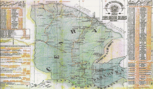
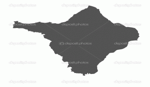
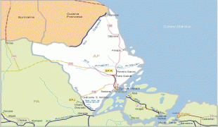
Map - Amapá
Map


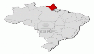
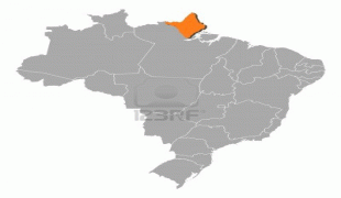


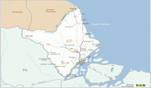
Country - Brazil


Currency / Language
| ISO | Currency | Symbol | Significant figures |
|---|---|---|---|
| BRL | Brazilian real | R$ | 2 |
| ISO | Language |
|---|---|
| EN | English language |
| FR | French language |
| PT | Portuguese language |
| ES | Spanish language |


