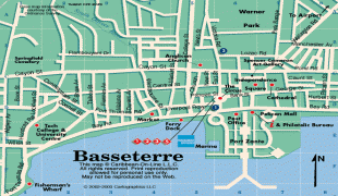
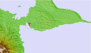
Basseterre
Basseterre is one of the oldest towns in the Eastern Caribbean.
Basseterre was founded in 1627 by the French, under Sieur Pierre Belain d'Esnambuc. It served as the capital of the French colony of Saint-Christophe, which consisted of the northern and southern extremities of the island of St. Kitts (the centre was yielded to Britain). When Phillippe de Longvilliers de Poincy was made the French governor of St. Kitts in 1639, the town turned into a large, successful port, commanding Eastern Caribbean trade and colonisation.
De Poincy then quickly made Basseterre capital of the entire French West Indies colony, which included the islands of Guadeloupe and Martinique, and remained so until his death in 1660. The city was made capital of the entire island of St. Kitts in 1727, following French expulsion from the island and full British control.
The city of Basseterre has one of the most tragic histories of any Caribbean capital, destroyed many times by colonial wars, fire, earthquakes, floods, riots, and hurricanes. Despite all of this, a considerable number of well-restored buildings still exist in downtown Basseterre.
Most of the city structures were built after the great fire of 1867. The Circus was modelled after Piccadilly Circus, and the fountain in the centre was built in 1883, and dedicated to The Honourable Thomas Berkeley Hardtman Berkeley, the father of Henry Spencer Berkeley.
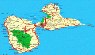
Map - Basseterre
Map


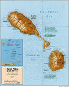

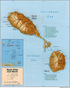
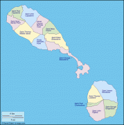
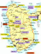
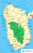
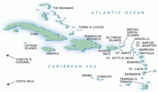
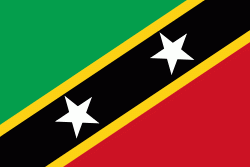
Country - Saint_Kitts_and_Nevis
 |
 |
| Flag of Saint Kitts and Nevis | |
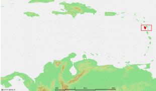
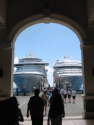
The capital city is Basseterre, located on the larger island of Saint Kitts. Basseterre is also the main port for passenger entry (via cruise ships) and cargo. The smaller island of Nevis lies approximately 3 km to the southeast of Saint Kitts, across a shallow channel called The Narrows.
Currency / Language
| ISO | Currency | Symbol | Significant figures |
|---|---|---|---|
| XCD | East Caribbean dollar | $ | 2 |
| ISO | Language |
|---|---|
| EN | English language |