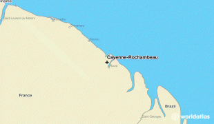
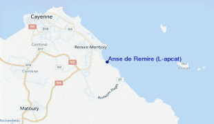
Cayenne – Félix Eboué Airport (Cayenne-Rochambeau)
Cayenne – Félix Eboué Airport (Aéroport de Cayenne – Félix Eboué, ) is French Guiana's main international airport. It is located near the commune of Matoury, 13 km southwest of French Guiana's capital city of Cayenne. It is managed by the Chamber of Commerce and Industry of French Guiana (CCI Guyane).
Air Guyane Express has its headquarters on the airport property.
The first airfield at Cayenne, called "Gallion," was built in 1943 in ten months by the U.S. Army Air Corps as a base allowing bombers to reach Africa. Though quickly abandoned upon the completion of the new airport, it can still be found very close to the aerodrome.
The new airport was first given the name "Rochambeau" in reference to Jean-Baptiste Donatien de Vimeur, comte de Rochambeau, commander-in-chief of the French troops in the American Revolutionary War. It was purchased by France in 1949.
This name was controversial because the airport's namesake's son, Donatien-Marie-Joseph de Vimeur, vicomte de Rochambeau, harshly repressed the Haitian Revolution during the Saint-Domingue expedition. Christiane Taubira, then-Member of the National Assembly of France for Guiana, requested in 1999 that the name be changed. Multiple proposals were submitted, including Cépérou, a seventeenth-century indigenous chief. It was finally renamed Félix Éboué Airport in 2012, the change becoming official in January of that year. The code for the airport remains CAY.
Félix Eboué Airport serves approximately 400,000 passengers per year.
| IATA Code | CAY | ICAO Code | SOCA | FAA Code | |
|---|---|---|---|---|---|
| Telephone | Fax | ||||
| Home page |
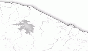
Map - Cayenne – Félix Eboué Airport (Cayenne-Rochambeau)
Map


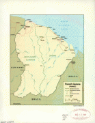
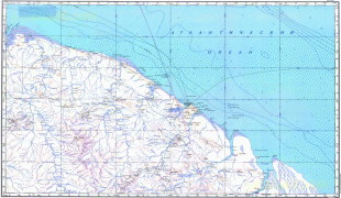
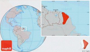
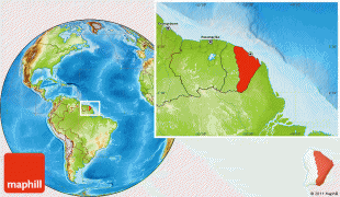
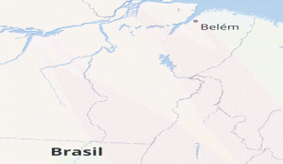
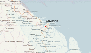
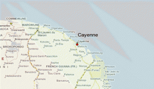
Country - French_Guiana
 |
 |
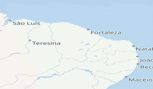
French Guiana is the second-largest region of France (more than one-seventh the size of Metropolitan France) and the largest outermost region within the European Union. It has a very low population density, with only 3.6 PD/sqkm. (Its population is less than 1⁄200 that of Metropolitan France.) Half of its 301,099 inhabitants in 2023 lived in the metropolitan area of Cayenne, its capital. 98.9% of the land territory of French Guiana is covered by forests, a large part of which is primeval rainforest. The Guiana Amazonian Park, which is the largest national park in the European Union, covers 41% of French Guiana's territory.
Currency / Language
| ISO | Currency | Symbol | Significant figures |
|---|---|---|---|
| EUR | Euro | € | 2 |
| ISO | Language |
|---|---|
| FR | French language |