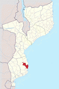
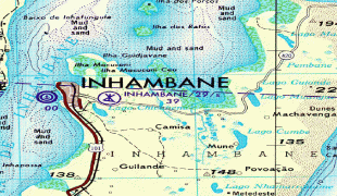
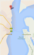
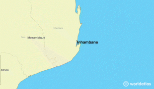
Inhambane Airport (Inhambane)
Inhambane Airport is an airport in Jangamo District, Inhambane Province, Mozambique.
The airport is operational Monday to Friday from 07:00 to 17:00, Saturdays from 08:00 to 17:00, open by advance request on Sundays. Customs and Immigration can be organised in advance of arrivals. Fees and taxes apply. There is currently only fuel available on request if prearranged in advance.
The airport is operational Monday to Friday from 07:00 to 17:00, Saturdays from 08:00 to 17:00, open by advance request on Sundays. Customs and Immigration can be organised in advance of arrivals. Fees and taxes apply. There is currently only fuel available on request if prearranged in advance.
| IATA Code | INH | ICAO Code | FQIN | FAA Code | |
|---|---|---|---|---|---|
| Telephone | Fax | ||||
| Home page |
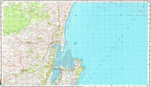
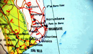
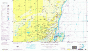
Map - Inhambane Airport (Inhambane)
Map


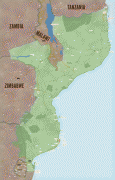
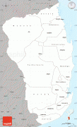
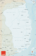
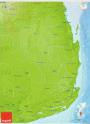
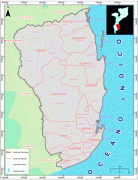
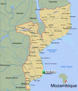
Country - Mozambique
 |
 |
| Flag of Mozambique | |
Notably Northern Mozambique lies within the monsoon trade winds of the Indian Ocean and is frequentely affected by disruptive weather. Between the 7th and 11th centuries, a series of Swahili port towns developed on that area, which contributed to the development of a distinct Swahili culture and dialect. In the late medieval period, these towns were frequented by traders from Somalia, Ethiopia, Egypt, Arabia, Persia, and India.
Currency / Language
| ISO | Currency | Symbol | Significant figures |
|---|---|---|---|
| MZN | Mozambican metical | MT | 2 |
| ISO | Language |
|---|---|
| PT | Portuguese language |