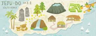
Jeju-do
 |
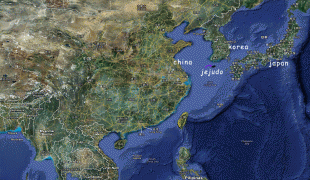
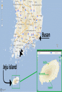
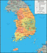
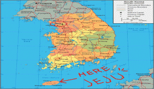
The island lies in the Korea Strait, south of the Korean Peninsula, and South Jeolla Province. It is located 82.8 km off the nearest point on the peninsula. Jeju is the only self-governing province in South Korea, meaning that the province is run by local inhabitants instead of politicians from the mainland.
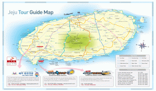
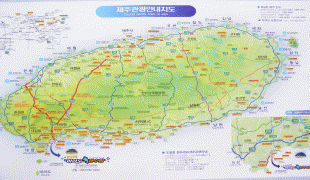
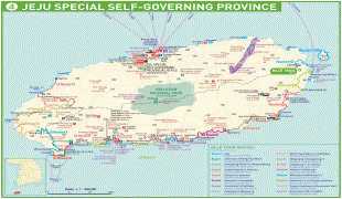
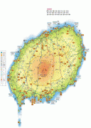
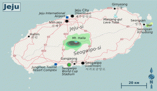
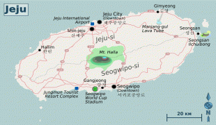
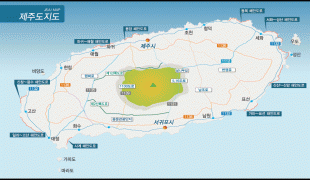
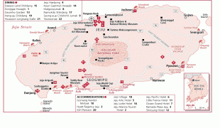
Jeju Island has an oval shape of 73 km east–west and 31 km north–south, with a gentle slope around Mt. Halla in the center. The length of the main road is 181 km and the coastline is 258 km. The northern end of Jeju Island is Kimnyeong Beach, the southern end is Songak Mountain, the western end is Suwol bong, and the eastern end is Seongsan Ilchulbong.
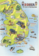
The island was formed by the eruption of an underwater volcano approximately 2 million years ago. It contains a natural World Heritage Site, the Jeju Volcanic Island and Lava Tubes. Jeju Island has a temperate climate which is moderate; even in winter, the temperature rarely falls below 0 C. Jeju is a popular holiday destination and a sizable portion of the economy relies on tourism and related economic activity.
Historically, the island has been called by many different names including:
* Doi (, hanja:, literally "Island barbarian")
* Dongyeongju (hanja: 東瀛州)
* Juho (, hanja: )
* Tammora (탐모라, 耽牟羅)
* Seomna (섭라, 涉羅)
Map - Jeju-do
Map


Country - South_Korea
 |
 |
| Flag of South Korea | |
The Korean Peninsula was inhabited as early as the Lower Paleolithic period. Its first kingdom was noted in Chinese records in the early 7th century BCE. Following the unification of the Three Kingdoms of Korea into Silla and Balhae in the late 7th century, Korea was ruled by the Goryeo dynasty (918–1392) and the Joseon dynasty (1392–1897). The succeeding Korean Empire (1897–1910) was annexed in 1910 into the Empire of Japan. Japanese rule ended following Japan's surrender in World War II, after which Korea was divided into two zones; a northern zone occupied by the Soviet Union and a southern zone occupied by the United States. After negotiations on reunification failed, the southern zone became the Republic of Korea in August 1948 while the northern zone became the communist Democratic People's Republic of Korea the following month.
Currency / Language
| ISO | Currency | Symbol | Significant figures |
|---|---|---|---|
| KRW | South Korean won | â‚© | 0 |
| ISO | Language |
|---|---|
| EN | English language |
| KO | Korean language |
