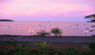
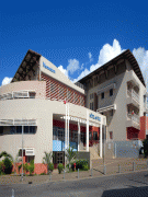
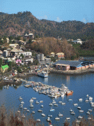
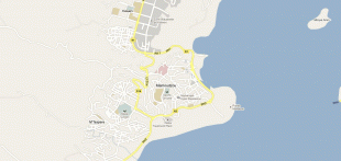
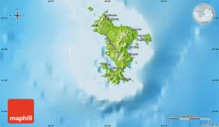
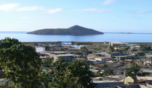
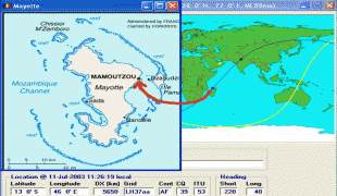
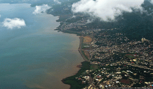
Mamoudzou
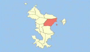
The commune is composed of 6 villages in addition to Mamoudzou. These are: Kawéni, Mtsapéré, Passamainti, Vahibé, Tsoundzou I and Tsoundzou II. The commune is also subdivided into 3 cantons: Mamoudzou-1, Mamoudzou-2 and Mamoudzou-3.
The government owns the radio station in Mamoudzou and broadcasts in French and Mahorian. The government departments are all situated in the town.
The former capital of Mayotte was Dzaoudzi, on the small island of Petite-Terre (or Pamanzi), but Mamoudzou was chosen as the capital in 1977. In the 1985 census, 12,026 people were recorded in the main town.
There have been environment concerns about marine pollution in the area; "important degradation in the quality of the coastal waters" between 1977 and 2007 has been reported in the Coral Reef Lagoon in the Mamoudzou–Dzaoudzi strait, and in the Mamoudzou–Majikavo conurbation.
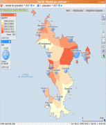
Map - Mamoudzou
Map


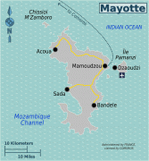
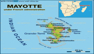
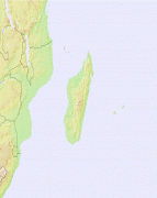
Country - Mayotte
 |
 |
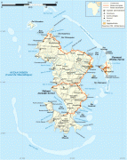
Mayotte's land area is 374 km2 and, with its 310,022 people according to January 2023 official estimates, is very densely populated at 829 inhabitants per km2 (2,073 per sq mi). The biggest city and prefecture is Mamoudzou on Grande-Terre. The Dzaoudzi–Pamandzi International Airport is located on the neighbouring island of Petite-Terre. The territory is also known as Maore, the native name of its main island.
Currency / Language
| ISO | Currency | Symbol | Significant figures |
|---|---|---|---|
| EUR | Euro | € | 2 |
| ISO | Language |
|---|---|
| FR | French language |