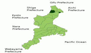
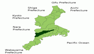
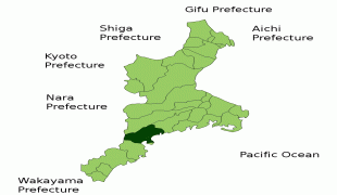
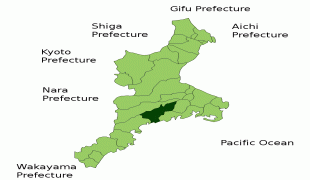
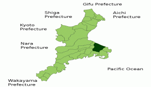
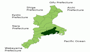
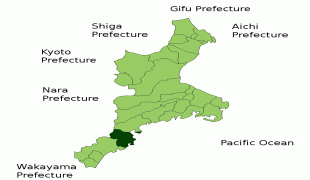
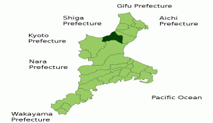
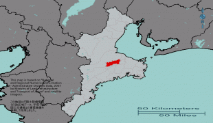
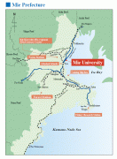
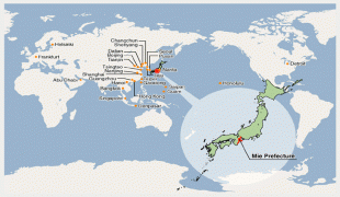
Mie Prefecture (Mie-ken)
 |
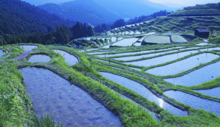
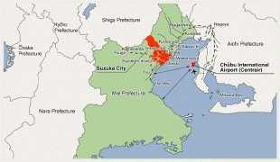
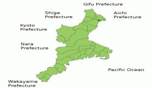
Tsu is the capital and Yokkaichi is the largest city of Mie Prefecture, with other major cities including Suzuka, Matsusaka, Ise, and Kuwana. Mie Prefecture is located on the eastern coast of the Kii Peninsula, forming the western side of Ise Bay which features the mouths of the Kiso Three Rivers. Mie Prefecture is a popular tourism destination home to Nagashima Spa Land, Suzuka International Racing Course, and some of the oldest and holiest sites in Shinto, the traditional religion of Japan, including the Ise Grand Shrine and the Tsubaki Grand Shrine.
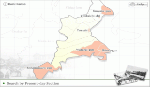
Until the Meiji Restoration, the area that is now Mie Prefecture was made up of Ise Province, Shima Province, Iga Province, and part of Kii Province.
Evidence of human habitation in Mie dates back more than 10,000 years. During the Jōmon and Yayoi periods, agricultural communities began to form along the river and coastal areas of the region. Ise Shrine is said to have been established during the Yayoi period, and in the 7th century the Saikū Imperial Residence was built in what is now Meiwa Town to serve as both a residence and administrative centre for the Saiō, an Imperial Princess who served as High Priestess of Ise Shrine.
During the Edo period, the area now known as Mie Prefecture consisted of several feudal domains, each ruled by an appointed lord. Transport networks, including the Tokaido and Ise Roads, were built. Port towns such as Ohminato, Kuwana and Anōtsu, posting stations and castle towns flourished. Pilgrimages to Ise Shrine also became very popular.
After the Meiji Restoration, the former provinces of Ise, Shima and Iga as well as a portion of eastern Kii, were organized and reorganized repeatedly. In 1871, the area from the Kiso Three Rivers in the north to present-day Tsu became Anōtsu Prefecture, and the area south of that became Watarai Prefecture. In 1872, the Anōtsu prefectural seat moved from Tsu to Yokkaichi, and the prefecture itself was renamed Mie. For a variety of reasons, including the strong likelihood that Mie would eventually merge with Watarai, the prefectural seat returned to Tsu the following year, and Mie Prefecture took its present-day form in 1876, when it merged with its southern neighbor.
The name Mie supposedly was taken from a comment about the region made by Yamato Takeru on his way back from conquering the eastern regions.
In 1959, many people died as parts of Mie were devastated by the Ise-wan Typhoon, the strongest typhoon to hit Japan in recorded history. Crops were destroyed, sea walls ruined, roads and railways damaged and a substantial number of people were injured or left homeless.
In May 2016, the city of Shima hosted the 42nd G7 summit, the third summit without the presence of Russia.
Map - Mie Prefecture (Mie-ken)
Map


Country - Japan
 |
 |
| Flag of Japan | |
Japan is the eleventh most populous country in the world, as well as one of the most densely populated and urbanized. About three-fourths of the country's terrain is mountainous, concentrating its population of 124.8 million on narrow coastal plains. Japan is divided into 47 administrative prefectures and eight traditional regions. The Greater Tokyo Area is the most populous metropolitan area in the world, with more than 37.2 million residents.
Currency / Language
| ISO | Currency | Symbol | Significant figures |
|---|---|---|---|
| JPY | Japanese yen | ¥ | 0 |
| ISO | Language |
|---|---|
| JA | Japanese language |


