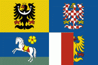
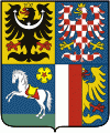
Moravian–Silesian Region (Moravskoslezský kraj)
 |
 |
It is a highly industrialized region, its capital Ostrava was actually called the "Steel Heart of the Republic". In addition, it has several mountainous areas where the landscape is relatively preserved. Nowadays, the economy of the region benefits from its location in the Czech/Polish/Slovak borderlands.
The Moravian-Silesian Region is divided into 6 districts, in which there are 300 municipalities (39 are towns):
Traditionally, the region has been divided into six districts (okresy) which still exist as regional units, though most administration has been shifted to the municipalities with extended competence and the municipalities with commissioned local authority.
Map - Moravian–Silesian Region (Moravskoslezský kraj)
Map


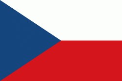
Country - Czech_Republic
 |
 |
| Flag of the Czech Republic | |
The Duchy of Bohemia was founded in the late 9th century under Great Moravia. It was formally recognized as an Imperial State of the Holy Roman Empire in 1002 and became a kingdom in 1198. Following the Battle of Mohács in 1526, the whole Crown of Bohemia was gradually integrated into the Habsburg monarchy. The Protestant Bohemian Revolt led to the Thirty Years' War. After the Battle of White Mountain, the Habsburgs consolidated their rule. With the dissolution of the Holy Empire in 1806, the Crown lands became part of the Austrian Empire.
Currency / Language
| ISO | Currency | Symbol | Significant figures |
|---|---|---|---|
| CZK | Czech koruna | KÄ | 2 |
| ISO | Language |
|---|---|
| CS | Czech language |
| SK | Slovak language |
