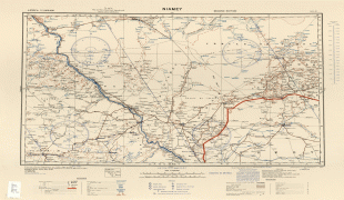
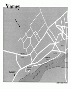
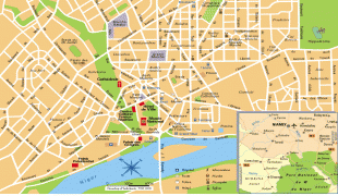
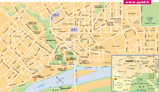
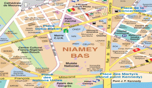
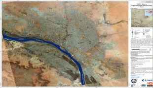
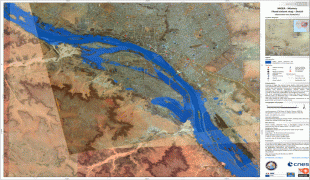
Niamey
Niamey is the capital and largest city of Niger. Niamey lies on the Niger River, primarily situated on the east bank. Niamey's population was counted as 1,026,848 as of the 2012 census. As of 2017, population projections show the capital district growing at a slower rate than the country as a whole, which has the world's highest fertility rate. The city is located in a pearl millet growing region, while manufacturing industries include bricks, ceramic goods, cement, and weaving.
Niamey was probably founded in the 18th century and originated as a cluster of small villages (Gaweye, Kalley, Maourey, Zongo and Foulani Koira). Niamey was of little importance until the French developed it as a colonial centre in the late 1890s. The town, then with an estimated population of some 1,800, was chosen as the capital of the newly created Military Territory of Niger in 1905, however, the capital was shifted to the more established city of Zinder in 1912. Zinder's proximity to the Nigerian border and distance from French-controlled ports prompted the French to move the capital back to Niamey in 1926, by which time the city had some 3,000 inhabitants. A series of devastating droughts prompted significant population growth during this period, and by 1945 the population was about 8,000.
Prior to 1926-27 the Upper Volta-Niger border ran along the Niger river, meaning that Niamey lay directly on the boundary. At the time of independence in 1960 the population had grown to around 30,000. The period from 1970 to 1988 was one in which the economy of Niger boomed, driven by revenue from the uranium mines at Arlit. As a result, the population of Niamey grew from 108,000 to 398,365 inhabitants and the city expanded from 1367 ha in 1970 to 4400 ha by 1977, in the process annexing peripheral villages such as Lazaret. Continuing droughts also caused many rural Nigeriens to move to the growing city.
In 1992 Niamey and its immediate hinterland were split off from Niamey Region to form the much smaller Niamey Capital District, enclaved within the new Tillabéri Region.
By some estimates, the population had reached 700,000 in 2000. In 2011, government press estimated the total urban population at over 1.5 million. A major cause of the increase has been in migration for work and during droughts, as well as high population growth. This last factor means that demographically a majority of the city's citizens are young people.
Map - Niamey
Map


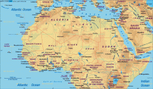
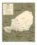
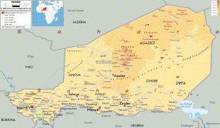
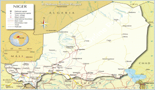

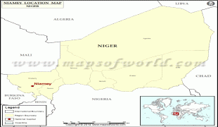

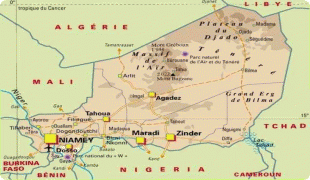
Country - Niger
 |
 |
| Flag of Niger | |
It is one of the least developed countries and is also one of the poorest countries in the world by GDP per capita. Some non-desert portions of the country underwent periodic drought and desertification. The economy is concentrated around subsistence agriculture, with some export agriculture in the less arid south, and export of raw materials, including uranium ore. It faces challenges to development due to its landlocked position, desert terrain, low literacy rate, jihadist insurgencies and the world's highest fertility rates due to birth control not being used and the resulting rapid population growth.
Currency / Language
| ISO | Currency | Symbol | Significant figures |
|---|---|---|---|
| XOF | West African CFA franc | Fr | 0 |
| ISO | Language |
|---|---|
| FR | French language |
| HA | Hausa language |
| KR | Kanuri language |