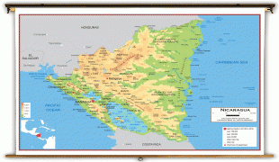
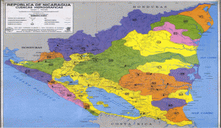
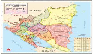
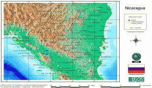
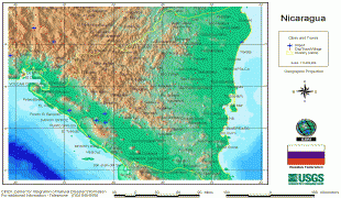
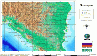
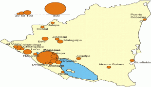
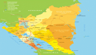
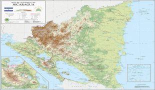
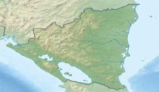
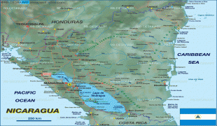
Map - Nicaragua (Republic of Nicaragua)
World >  North America >  Nicaragua

Nicaragua (Republic of Nicaragua)

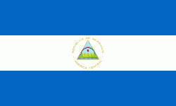
Flag of Nicaragua
Nicaragua, officially the Republic of Nicaragua , is the largest country in the Central American isthmus, bordered by Honduras to the northwest, the Caribbean to the east, Costa Rica to the south, and the Pacific Ocean to the southwest. Managua is the country's capital and largest city and is also the third-largest city in Central America, behind Tegucigalpa and Guatemala City. The multi-ethnic population of six million includes people of indigenous, European, African, and Asian heritage. The main language is Spanish. Indigenous tribes on the Mosquito Coast speak their own languages and English.

Originally inhabited by various indigenous cultures since ancient times, the Spanish Empire conquered the region in the 16th century. Nicaragua gained independence from Spain in 1821. The Mosquito Coast followed a different historical path, with the English colonizing it in the 17th century and later coming under the British rule, as well as some minor Spanish interludes in the 19th century. It became an autonomous territory of Nicaragua in 1860 and the northernmost part of it was later transferred to Honduras in 1960. Since its independence, Nicaragua has undergone periods of political unrest, dictatorship, occupation and fiscal crisis, leading to the Nicaraguan Revolution of the 1960s and 1970s and the Contra War of the 1980s.

The mixture of cultural traditions has generated substantial diversity in folklore, cuisine, music, and literature, particularly the latter given the literary contributions of Nicaraguan poets and writers, such as Rubén Darío. Known as the "land of lakes and volcanoes", Nicaragua is also home to the second-largest rainforest of the Americas. The country has set a goal of 90% renewable energy by the year 2020. The biological diversity, warm tropical climate and active volcanoes make Nicaragua an increasingly popular tourist destination.

There are two prevailing theories on how the name "Nicaragua" came to be. The first is that the name was coined by Spanish colonists based on the name Nicarao, who was the chieftain or cacique of a powerful indigenous tribe encountered by the Spanish conquistador Gil González Dávila during his entry into southwestern Nicaragua in 1522. This theory holds that the name Nicaragua was formed from Nicarao and agua (Spanish for "water"), to reference the fact that there are two large lakes and several other bodies of water within the country. However, as of 2002, it was determined that the cacique's real name was Macuilmiquiztli, which meant "Five Deaths" in the Nahuatl language, rather than Nicarao.

The second theory is that the country's name comes from any of the following Nahuatl words: nic-anahuac, which meant "Anahuac reached this far", or "the Nahuas came this far", or "those who come from Anahuac came this far"; nican-nahua, which meant "here are the Nahuas"; or nic-atl-nahuac, which meant "here by the water" or "surrounded by water".

 
Currency / Language 
ISO Currency Symbol Significant figures
NIO Nicaraguan córdoba C$ 2
ISO Language
EN English language
ES Spanish language
Neighbourhood - Country  

Map - Nicaragua (Republic of Nicaragua)

Latitude / Longitude : 13° 0' 0" N / 85° 0' 0" W | Time zone : UTC+-6 | Currency : NIO | Telephone : 505  

Map

Google-Map-Nicaragua
Google
Google Earth-Map-Nicaragua
Google Earth
OpenStreetMap-Map-Nicaragua
OpenStreetMap
Map-NicaraguaNicaragua_bluemarble_location_map.jpg
Nicaragua_bluemarble...
1400x1192
freemapviewer.org
Map-Nicaraguanicaragua.gif
nicaragua.gif
1000x1022
freemapviewer.org
Map-NicaraguaUn-nicaragua.png
Un-nicaragua.png
2403x3038
freemapviewer.org
Map-Nicaraguanicaragua_rel_97.jpg
nicaragua_rel_97.jpg
1110x1134
freemapviewer.org
Map-NicaraguaSatellite_image_of_Nicaragua_in_March_2003.jpg
Satellite_image_of_N...
1995x1969
freemapviewer.org
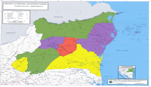
Map-Nicaragua-RAAN_Political_Map.jpg
RAAN_Political_Map.j...
4823x3990
www.vmapas.com
Map-Nicaragua-RAAN_Political_Map.jpg
RAAN_Political_Map.j...
4823x3990
www.vmapas.com
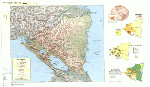
Map-Nicaragua-txu-pclmaps-oclc-6326911-nicaragua_1979.jpg
txu-pclmaps-oclc-632...
5226x3520
lib.utexas.edu
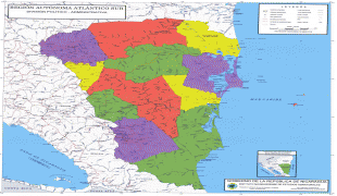
Map-Nicaragua-RAAS_Political_Map.jpg
RAAS_Political_Map.j...
4149x3844
www.vmapas.com
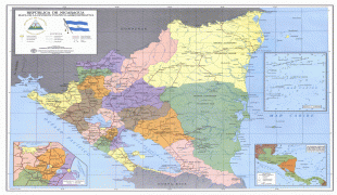
Map-Nicaragua-large_detailed_political_and_administrative_map_of_Nicaragua_with_roads_and_cities.jpg
large_detailed_polit...
3619x2777
www.vidiani.com
Map-Nicaragua-Political-divisions-of-southern-Nicaragua-Map.jpg
Political-divisions-...
3664x2599
mappery.com
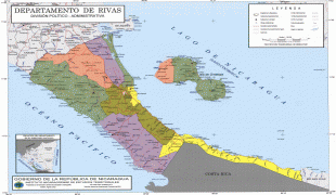
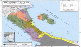
Map-Nicaragua-Rivas_Department_Administrative_Political_Map_Nicaragua_2.jpg
Rivas_Department_Adm...
3664x2599
www.zonu.com
Map-Nicaragua-Political-divisions-of-northeastern-Nicaragua-Map.jpg
Political-divisions-...
2752x2177
mappery.com
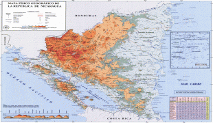
Map-Nicaragua-Nicaragua_Geophysical_Map.jpg
Nicaragua_Geophysica...
2511x2001
www.zonu.com
Map-Nicaragua-academia_nicaragua_physical_lg.jpg
academia_nicaragua_p...
2500x1822
www.worldmapsonline....
Map-Nicaragua-Mapa_Red_Hidrometrica_Nicaragua.jpg
Mapa_Red_Hidrometric...
2009x1941
www.vmapas.com
Map-Nicaragua-large_detailed_administrative_map_of_Nicaragua.jpg
large_detailed_admin...
2000x1754
www.vidiani.com
Map-Nicaragua-Nicaragua-USGS-CINDI-1998-Map.jpg
Nicaragua-USGS-CINDI...
2000x1354
mappery.com
Map-Nicaragua-nicaragua_cindi98.jpg
nicaragua_cindi98.jp...
2000x1354
images.nationmaster....
Map-Nicaragua-nicaragua_cindi98.jpg
nicaragua_cindi98.jp...
2000x1354
www.lib.utexas.edu
Map-Nicaragua-Nicaragua_cities_over_20th_map.png
Nicaragua_cities_ove...
1595x1567
upload.wikimedia.org
Map-Nicaragua-mapa_nicaragua.gif
mapa_nicaragua.gif
1528x1332
cartanica.files.word...
Map-Nicaragua-Mapa-Nicaragua-Relieve.jpg
Mapa-Nicaragua-Relie...
1500x1251
www.aurorabeachfront...
Map-Nicaragua-Nicaragua_relief_location_map.jpg
Nicaragua_relief_loc...
1400x1192
upload.wikimedia.org
Map-Nicaragua-karte-8-641.gif
karte-8-641.gif
1400x1185
www.welt-atlas.de
1 2 3 4 5 

Photograph

Nicaragua-Culture-El Güegüense
Culture
El Güegüense
Nicaragua-Education-Edificio UNI
Education
Edificio UNI
Nicaragua-Languages-BluefieldsSign
Languages
BluefieldsSign
Nicaragua-Ethnic groups-AfroNicoya
Ethnic groups
AfroNicoya
Nicaragua-Religion-Kathedrale Leon 2
Religion
Kathedrale Leon 2
Nicaragua-Demographics-Nica Women
Demographics
Nica Women
Nicaragua-Demographics-Nicaragua boys
Demographics
Nicaragua boys
Nicaragua-Tourism-LagunaApoyo
Tourism
LagunaApoyo
Nicaragua-Tourism-Nicaraguasee03
Tourism
Nicaraguasee03
Nicaragua-Tourism-Crucero en San Juan
Tourism
Crucero en San Juan
Nicaragua-Tourism-HuellasdeAcahualinca
Tourism
HuellasdeAcahualinca
Nicaragua-Economy-FruitColors
Economy
FruitColors
Nicaragua-Economy-Rotonda Ruben dario
Economy
Rotonda Ruben dario
Nicaragua-Law enforcement-600x400 1329442889 170212amb-nota2,photo01
Law enforcement
600x400 1329442889 170212amb-nota2,photo01
Nicaragua-Economy-Nicaragua treemap
Economy
Nicaragua treemap
Nicaragua-Military-Afghan MI-17 and AN-26
Military
Afghan MI-17 and AN-26
Nicaragua-Government-Dmitry Medvedev 18 December 2008-6
Government
Dmitry Medvedev 18 December 2008-6
Nicaragua-Flora and fauna-Turquoise-browed Motmot 2495425451
Flora and fauna
Turquoise-browed Motmot 2495425451
Nicaragua-Pacific lowlands-PenasBlancas, part of the Bosawas Reserve, Jinotega Department, Nicaragua
Pacific lowlands
PenasBlancas, part of the Bosawas Reserve, Jinotega Department, Nicaragua
Nicaragua-North central highlands-Cañonsomoto
North central highlands
Cañonsomoto
1 2 3 4 5 6 
 mapnall@gmail.com