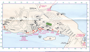
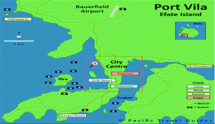
Port Vila (Port-Vila)
 |
Its population in the last census (2009) was 44,040, an increase of 35% on the previous census result (29,356 in 1999). In 2009, the population of Port Vila formed 18.8% of the country's population, and 66.9% of the population of Efate.
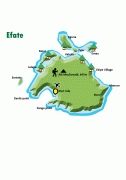
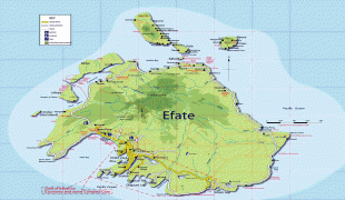
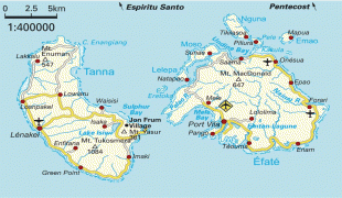
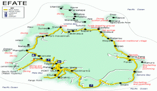
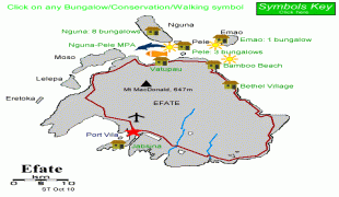
On the south coast of the island of Efate, in Shefa Province, Port Vila is the economic and commercial centre of Vanuatu. The mayor is Erick Puyo Festa, of the Vanua'aku Pati, elected in January 2018; his deputy is Jenny Regenvanu, of the Graun mo Jastis Pati.
On 13 March 2015, Port Vila bore extensive damage from Cyclone Pam.
Locally the town is most commonly referred to simply as "Vila", whether in French or Bislama or in English (not like English "villa").
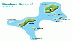
The name of the area is Efil in the native South Efate language and Ifira in neighbouring Mele-Fila language. Vila is a variant of these names. Ifira is a small island in Vila harbour where many of the area's traditional landowners reside.
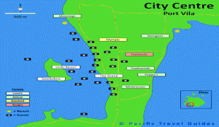
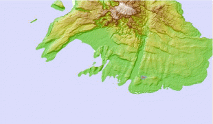
Map - Port Vila (Port-Vila)
Map


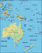
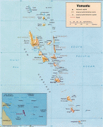

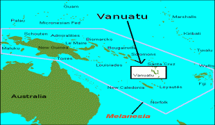

Country - New_Hebrides
 |
 |
| Flag of Vanuatu | |
The two countries eventually signed an agreement making the islands an Anglo-French condominium that divided New Hebrides into two separate communities: one Anglophone and one Francophone. That divide continued even after independence, with schools teaching in either one language or the other, and with different political parties. The condominium lasted from 1906 until 1980, when New Hebrides gained its independence as the Republic of Vanuatu.
Currency / Language
| ISO | Currency | Symbol | Significant figures |
|---|---|---|---|
| VUV | Vanuatu vatu | Vt | 0 |
| ISO | Language |
|---|---|
| BI | Bislama language |
| EN | English language |
| FR | French language |