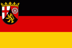
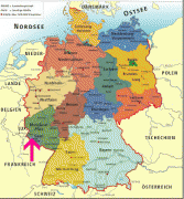
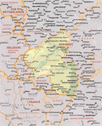
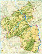
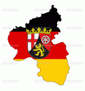
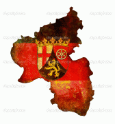
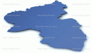
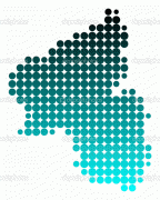
Rhineland-Palatinate (Rheinland-Pfalz)
 |
 |
Rhineland-Palatinate was established in 1946 after World War II, from parts of the former states of Prussia (part of its Rhineland and Nassau provinces), Hesse (Rhenish Hesse) and Bavaria (its former outlying Palatinate kreis or district), by the French military administration in Allied-occupied Germany. Rhineland-Palatinate became part of the Federal Republic of Germany in 1949 and shared the country's only border with the Saar Protectorate until the latter was returned to German control in 1957. Rhineland-Palatinate's natural and cultural heritage includes the extensive Palatinate winegrowing region, picturesque landscapes, and many castles and palaces.
Rhineland-Palatinate is currently the only federal state in Germany where nuclear weapons are stored extraterritorially under the responsibility and supervision of US forces.
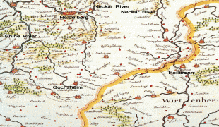
The state of Rhineland-Palatinate was founded shortly after the Second World War, on 30 August 1946. It was formed mainly from the southern part of the Prussian Rhine Province (the Regierungsbezirke of Koblenz and Trier), from Rhenish Hesse, from the western part of Nassau and the Bavarian Rhenish Palatinate minus the county of Saarpfalz. The Joint German-Luxembourg Sovereign Region (Gemeinschaftliches deutsch-luxemburgisches Hoheitsgebiet) is the only unincorporated area of the state of Rhineland-Palatinate. This condominium is formed by the rivers Moselle, Sauer, and Our, where they run along the border between Luxembourg and Rhineland-Palatinate or the Saarland.
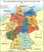
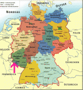
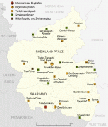
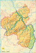
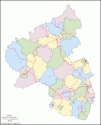
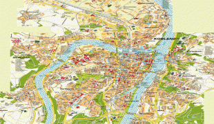
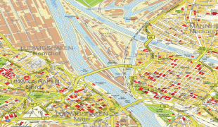
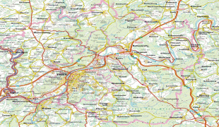
Map - Rhineland-Palatinate (Rheinland-Pfalz)
Map


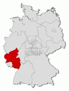
Country - Germany
 |
 |
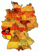
| Flag of Germany | |
Various Germanic tribes have inhabited the northern parts of modern Germany since classical antiquity. A region named Germania was documented before AD 100. In 962, the Kingdom of Germany formed the bulk of the Holy Roman Empire. During the 16th century, northern German regions became the centre of the Protestant Reformation. Following the Napoleonic Wars and the dissolution of the Holy Roman Empire in 1806, the German Confederation was formed in 1815.
Currency / Language
| ISO | Currency | Symbol | Significant figures |
|---|---|---|---|
| EUR | Euro | € | 2 |
| ISO | Language |
|---|---|
| DE | German language |


