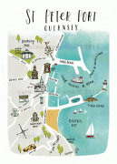
Saint Peter Port (Saint Peter Port)
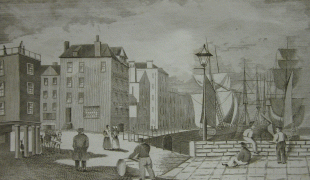
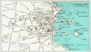
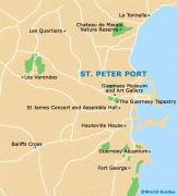
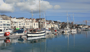
St. Peter Port is a small town (commonly referred to by locals as just "town") consisting mostly of steep narrow streets and steps on the overlooking slopes. It is known that a trading post/town existed here before Roman times with a pre-Christian name which has not survived.
The parish covers an area of 6.5 km2. The postal code for addresses in the parish starts with GY1.
People from St. Peter Port were nicknamed "les Villais" (the townspeople) or "cllichards" in Guernésiais.
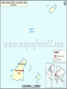
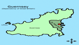
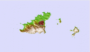
St. Peter Port is on the east coast of Guernsey overlooking Herm and tiny Jethou, a further channel separates Sark and surrounding islets such as Brecqhou; exceptionally Normandy's long Cotentin Peninsula and, to the south-east, Jersey are visible in clear conditions beyond from some, highest, vantage points. The parish borders St. Sampson in the north, The Vale in the north-west, St. Andrew in the west and St. Martin in the south.
The name of the nearest channel is the Little Russel, in which sits the Bréhon Tower; that separating Sark is the Big Russel. Both in width are less than half of Guernsey's greatest length and dotted with coastal rocks and stacks quite near those islands, some of which are narrowly submerged.
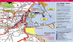
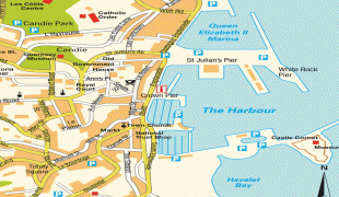
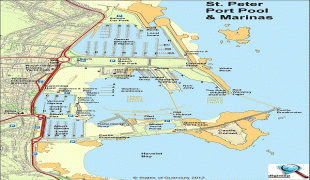
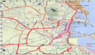
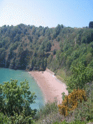
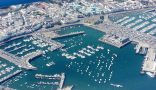
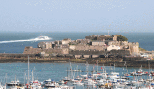
The land in the north and by the harbour is low-lying but not marshy. In the south, the land gets higher (but not as high as St Martin's or the Forest). Grassy, gently terraced cliffs behind sea walls (including projections) topped by trees characterise the southern part of the coast here (by an aquarium, underground military museum and historic battery at semi-wooded Havelet). In the north is the retail-centred and more built-up /Admiral Park coastal locality. To the south of the town lies Havelet Bay and the coast path which leads to the very pretty Fermain Bay after a walk of about 20–25 minutes.
* Relief
Map - Saint Peter Port (Saint Peter Port)
Map


Country - Guernsey
 |
 |
It is the second largest of the Channel Islands, an island group roughly north of Saint-Malo and west of the Cotentin Peninsula. The jurisdiction consists of ten parishes on the island of Guernsey, three other inhabited islands (Herm, Jethou and Lihou), and many small islets and rocks.
Currency / Language
| ISO | Currency | Symbol | Significant figures |
|---|---|---|---|
| GBP | Pound sterling | £ | 2 |
| ISO | Language |
|---|---|
| EN | English language |
| FR | French language |