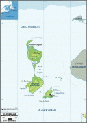
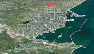
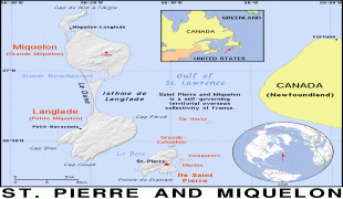
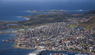
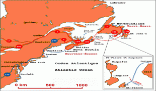
Saint Pierre and Miquelon (Saint Pierre and Miquelon)
 |
 |
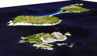
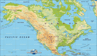
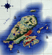
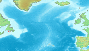
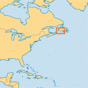
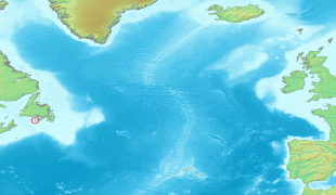
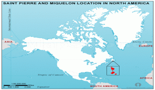
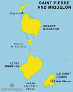
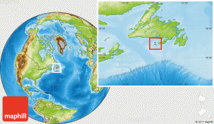
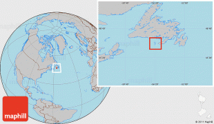
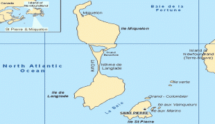
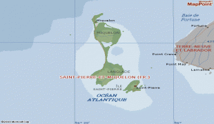
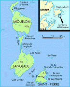
The islands are in the Gulf of St. Lawrence near the entrance of Fortune Bay, which extends into the southwestern coast of Newfoundland, near the Grand Banks of Newfoundland. St. Pierre is 19 km from Point May on the Burin Peninsula of Newfoundland and 3819 km from Brest, the nearest city in Metropolitan France. The tiny Canadian Green Island lies 10 km east of St. Pierre, roughly halfway to Point May.
Saint-Pierre is French for Saint Peter, the patron saint of fishermen.
The present name of Miquelon was first noted in the form of Micquetô, Miqueton or Micquellon in the French Basque sailor Martin de Hoyarçabal's 1579 navigational pilot for Newfoundland, Les voyages aventureux du Capitaine Martin de Hoyarsabal, habitant du çubiburu: "Giſant le cap de Breton & le pertuis de Miqueton est oest, y a 42 l. [leagues]" ... "Gisant la Colombe de S. Pierre le pertuis de Micquellon nord noroest & sud suest: y a 7 l. It has been claimed that the name Miquelon is a Basque form of Michael; Mikel and Mikels are usually named Mikelon in the Basque Country. Therefore, from Mikelon it may have been written in the French way with a q instead of a k.
The Basque Country is divided between Spain and France, and most Basques live south of the border, so Miquelon may have been influenced by the Spanish name Miguelón, an augmentative form of Miguel meaning "big Michael". The adjoined island's name of "Langlade" is said to be an adaptation of l'île à l'Anglais (Englishman's Island).