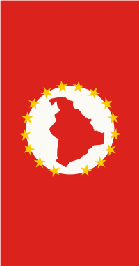
Saraj Municipality (Saraj)
 |
 |
* Saraj, which means "palace" in Turkish, is also the name of the village where the municipal seat is found.
* It is a rural municipality and it is not part of the urban core of Skopje proper.
Saraj borders
* Jegunovce Municipality to the northwest,
* Želino Municipality to the southwest,
* Sopište Municipality to the south,
* Karpoš Municipality and Ǵorče Petrov Municipality to the east, and
* Kosovo to the north.
Map - Saraj Municipality (Saraj)
Map


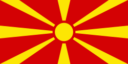
Country - Republic_of_Macedonia
 |
 |
The region's history begins with the kingdom of Paeonia, a mixed Thraco-Illyrian polity. In the late sixth century BC, the area was subjugated by the Persian Achaemenid Empire, then incorporated into the Kingdom of Macedonia in the fourth century BC. The Roman Republic conquered the region in the second century BC and made it part of the larger province of Macedonia. The area remained part of the Byzantine Empire, but was often raided and settled by Slavic tribes beginning in the sixth century of the Christian era. Following centuries of contention between the Bulgarian, Byzantine, and Serbian Empires, it was part of the Ottoman Empire from the mid-14th until the early 20th century, when, following the Balkan Wars of 1912 and 1913, the modern territory of North Macedonia came under Serbian rule.
Currency / Language
| ISO | Currency | Symbol | Significant figures |
|---|---|---|---|
| MKD | Macedonian denar | ден | 2 |
| ISO | Language |
|---|---|
| SQ | Albanian language |
| MK | Macedonian language |
| SR | Serbian language |
| TR | Turkish language |