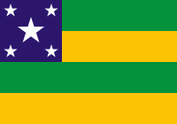
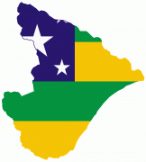
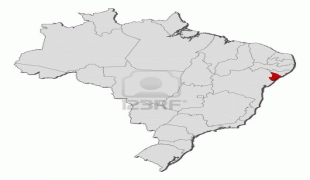
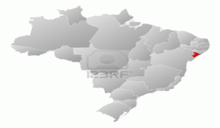
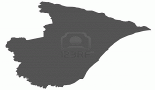
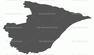
Sergipe
 |
 |
As with most of the states in northeastern Brazil, inland Sergipe is almost entirely savanna (caatinga), and its coastline is characterized by mangroves, swamps and sandy beaches. A small strip of tropical rainforest runs down the coast.
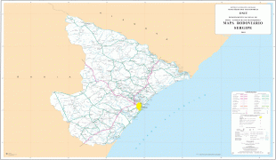
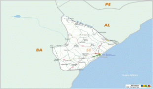
The São Francisco River forms its northern boundary, and the drainage of the northern part of the state is northward and eastward to that river. The southern half of the state slopes eastward and is drained directly into the Atlantic through a number of small rivers, the largest of which are the Irapiranga (whose source in the state of Bahia is called Vaza Barris), the Real and the Cotinguiba. These streams are navigable for short distances, but are obstructed by sandbars at their mouths; because of these, there are no good ports on the coast. The surface of the state resembles, in part, that of Bahia, with a zone of forested lands near the coast and beyond this forested zone lies a higher zone of rough open country, called agreste. There is a sandy belt along the coast, and the western frontier is slightly mountainous. The land in between is very fertile, especially in the forested region where rainfall is abundant. Further inland, the year is divided into wet and dry seasons with occasional prolonged droughts. These are pastoral areas, and the lower fertile lands are cultivated.
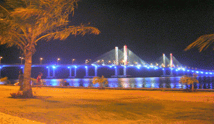
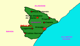
The capital of the state is Aracaju (pop. 479 767 in 2003), on the lower course or estuary of the Cotinguiba River, near the coast. The sandbar at the entrance to this river is exceptionally dangerous, and the port is frequented only by coasting vessels of light draught. The city is found on a sandy plain, and there are sand dunes within the city limits. In 1911, the main public buildings included a large plain church with unfinished twin towers, the government palace, the legislative halls, a public school and public hospital.
The other principal towns are Estância - pop. 62,218 (in 2005) on the Rio Real river in the southern part of the state and a center for the manufacturing of cotton-based textiles, cigars, cigarettes and soap as well as an active trade center; Laranjeiras - pop. 26,452 (in 2005), located in a highly productive sugar-growing district north of the capital; Capela - pop. 27,403 (in 2005); Simão Dias - pop. 39,706 (in 2005); Lagarto - pop. 90,345 (in 2005); São Cristóvão, formerly Sergipe d'el-Rey - pop. 75,353 (in 2005), which was also the old colonial capital near the mouth of the Irapiranga.
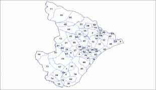
* See also List of municipalities in Sergipe (SE), Brazil.
Map - Sergipe
Map


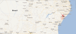
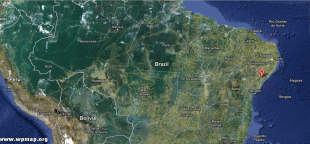
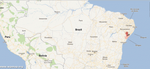
Country - Brazil


Currency / Language
| ISO | Currency | Symbol | Significant figures |
|---|---|---|---|
| BRL | Brazilian real | R$ | 2 |
| ISO | Language |
|---|---|
| EN | English language |
| FR | French language |
| PT | Portuguese language |
| ES | Spanish language |


