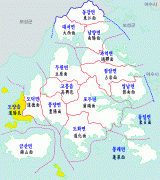
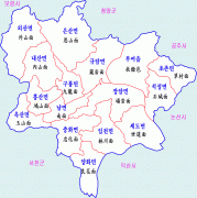
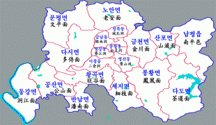
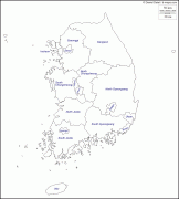
Jeollanam-do
 |
 |
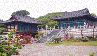
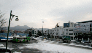
Muan County is the capital and Yeosu is the largest city of South Jeolla, with other major cities including Suncheon, Mokpo, and Gwangyang. Gwangju was the largest city of South Jeolla until becoming a Metropolitan City in 1986, and was the historic capital until the provincial government was relocated to the Muan County town of Namak in 2005.
South Jeolla was established in 1896 from the province of Jeolla, one of the Eight Provinces of Korea, consisting of the southern half of its mainland territory and most outlying islands.
The province is part of the Honam region, and is bounded on the west by the Yellow Sea, on the north by Jeollabuk-do Province, on the south by Jeju Strait, and on the east by Gyeongsangnam-do.
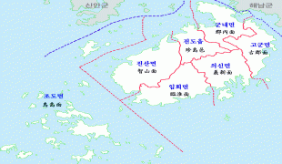
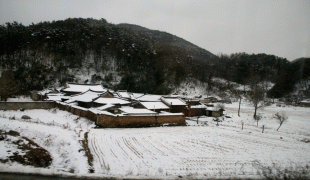
There are almost 2,000 islands along the coastline, about three quarters of which are uninhabited. The coastline is about 6,100 km long. Some of the marine products, in particular oyster and seaweed cultivation, are leading in South Korea.
The province is only partially mountainous. The plains along the rivers Seomjin, Yeongsan and Tamjin are suitable for large-scale grain agriculture. There is abundant rainfall in the area, which helps agriculture. The province is also home to the warmest weather on the peninsula. This helps to produce large amounts of agricultural produce, mainly rice, wheat, barley, pulses and potatoes. Vegetables, cotton and fruits are also grown in the province.
A small amount of gold and coal is mined in the province, but industries have also been developed in the area.
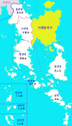
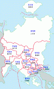
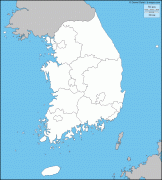
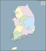
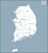
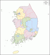
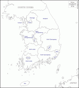
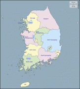
Map - Jeollanam-do
Map


Country - South_Korea
 |
 |
| Flag of South Korea | |
The Korean Peninsula was inhabited as early as the Lower Paleolithic period. Its first kingdom was noted in Chinese records in the early 7th century BCE. Following the unification of the Three Kingdoms of Korea into Silla and Balhae in the late 7th century, Korea was ruled by the Goryeo dynasty (918–1392) and the Joseon dynasty (1392–1897). The succeeding Korean Empire (1897–1910) was annexed in 1910 into the Empire of Japan. Japanese rule ended following Japan's surrender in World War II, after which Korea was divided into two zones; a northern zone occupied by the Soviet Union and a southern zone occupied by the United States. After negotiations on reunification failed, the southern zone became the Republic of Korea in August 1948 while the northern zone became the communist Democratic People's Republic of Korea the following month.
Currency / Language
| ISO | Currency | Symbol | Significant figures |
|---|---|---|---|
| KRW | South Korean won | â‚© | 0 |
| ISO | Language |
|---|---|
| EN | English language |
| KO | Korean language |


