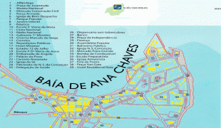
São Tomé (São Tomé)
 |
 |
Álvaro Caminha founded the colony of São Tomé in 1493. The Portuguese came to São Tomé in search of land to grow sugarcane. The island was uninhabited before the arrival of the Portuguese sometime around 1470. São Tomé, situated about 40 km north of the equator, had a climate wet enough to grow sugarcane in wild abundance. 2,000 Jewish children, eight years old and under, were taken from the Iberian peninsula for work on the sugar plantations. The nearby African Kingdom of Kongo eventually became a source of slave labor as well. The island of São Tomé was the main center of sugar production in the sixteenth century; it was overtaken by Brazil by 1600.
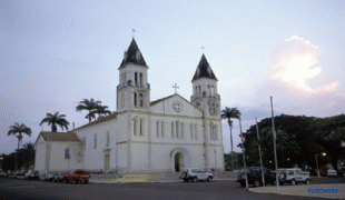
São Tomé is centred on a sixteenth-century cathedral, that was largely rebuilt in the 19th century. Another early building is Fort São Sebastião, built in 1566 and now the São Tomé National Museum. On July 9, 1595, a slave revolt led by Rei Amador took control of the capital; they were subjugated in 1596. In 1599, the Dutch took the city as well as the islands for two days; they re-occupied it in 1641 for a year. The city served as the capital of the Portuguese colony of São Tomé and Príncipe and, from São Tomé and Príncipe's independence in 1975, as capital of the sovereign nation.
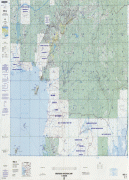
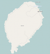
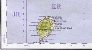
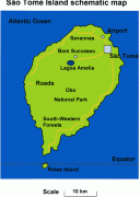
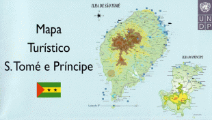
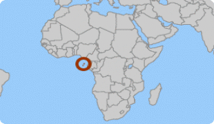
Map - São Tomé (São Tomé)
Map


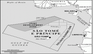
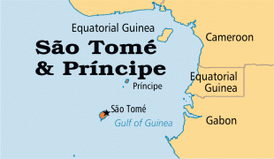


Country - São_Tomé_and_Príncipe
 |
 |
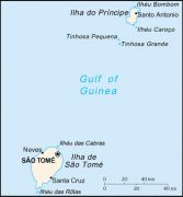
It consists of two archipelagos around the two main islands of São Tomé and Príncipe, about 150 km apart and about 250 and 225 km off the northwestern coast of Gabon. With a population of 201,800 (2018 official estimate), São Tomé and Príncipe is the second-smallest and second-least populous African sovereign state after Seychelles.
Currency / Language
| ISO | Language |
|---|---|
| PT | Portuguese language |