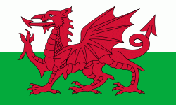
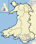
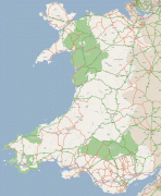
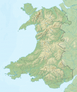
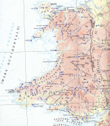
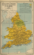
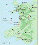
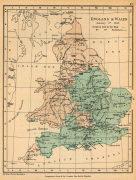
Wales
 |
Welsh national identity emerged among the Celtic Britons after the Roman withdrawal from Britain in the 5th century, and Wales was formed as a kingdom under Gruffydd ap Llywelyn in 1055. Wales is regarded as one of the Celtic nations. The conquest of Wales by Edward I of England was completed by 1283, though Owain Glyndŵr led the Welsh Revolt against English rule in the early 15th century, and briefly re-established an independent Welsh state with its own national parliament (senedd). The whole of Wales was annexed by England and incorporated within the English legal system under the Laws in Wales Acts 1535 and 1542. Distinctive Welsh politics developed in the 19th century. Welsh Liberalism, exemplified in the early 20th century by David Lloyd George, was displaced by the growth of socialism and the Labour Party. Welsh national feeling grew over the century; a nationalist party, Plaid Cymru was formed in 1925, and the Welsh Language Society in 1962. A governing system of Welsh devolution is employed in Wales, of which the most major step was the formation of the Senedd (Welsh Parliament, formerly the National Assembly for Wales) in 1998, responsible for a range of devolved policy matters.
At the dawn of the Industrial Revolution, development of the mining and metallurgical industries transformed the country from an agricultural society into an industrial one; the South Wales Coalfield's exploitation caused a rapid expansion of Wales' population. Two-thirds of the population live in South Wales, including Cardiff, Swansea, Newport and the nearby valleys. The eastern region of North Wales has about a sixth of the overall population, with Wrexham being the largest northern city. The remaining parts of Wales are sparsely populated. Now that the country's traditional extractive and heavy industries have gone or are in decline, the economy is based on the public sector, light and service industries, and tourism. Agriculture in Wales is largely livestock based, making Wales a net exporter of animal produce, contributing towards national agricultural self-sufficiency.
The country has a distinct national and cultural identity and from the late 19th century onwards Wales acquired its popular image as the "land of song", in part due to the eisteddfod tradition and rousing choir singing. Both Welsh and English are official languages. A majority of the population in most areas speaks English whilst a majority of the population in parts of the north and west speak Welsh, with a total of 538,300 Welsh speakers across the whole country.
The English words "Wales" and "Welsh" derive from the same Old English root (singular Wealh, plural Wēalas), a descendant of Proto-Germanic *Walhaz, which was itself derived from the name of the Gauls known to the Romans as Volcae. This term was later used to refer indiscriminately to inhabitants of the Western Roman Empire. Anglo-Saxons came to use the term to refer to the Britons in particular; the plural form Wēalas evolved into the name for their territory, Wales. Historically in Britain, the words were not restricted to modern Wales or to the Welsh but were used to refer to anything that Anglo-Saxons associated with Britons, including other non-Germanic territories in Britain (e.g. Cornwall) and places in Anglo-Saxon territory associated with Britons (e.g. Walworth in County Durham and Walton in West Yorkshire).
The modern Welsh name for themselves is Cymry, and Cymru is the Welsh name for Wales. These words (both of which are pronounced ) are descended from the Brythonic word combrogi, meaning "fellow-countrymen", and probably came into use before the 7th century. In literature, they could be spelt Kymry or Cymry, regardless of whether it referred to the people or their homeland. The Latinised forms of these names, Cambrian, Cambric and Cambria, survive as names such as the Cambrian Mountains and the Cambrian geological period.
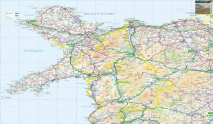
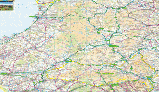
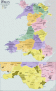
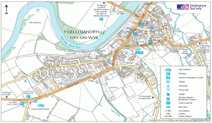
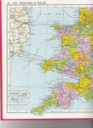
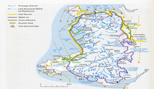
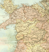
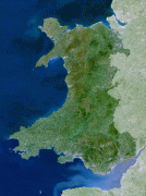
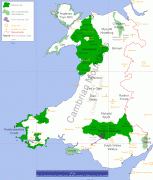
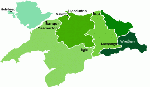
Map - Wales
Map


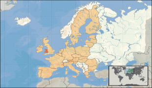
Country - United_Kingdom
 |
 |
| Flag of the United Kingdom | |
The United Kingdom has evolved from a series of annexations, unions and separations of constituent countries over several hundred years. The Treaty of Union between the Kingdom of England (which included Wales, annexed in 1542) and the Kingdom of Scotland in 1707 formed the Kingdom of Great Britain. Its union in 1801 with the Kingdom of Ireland created the United Kingdom of Great Britain and Ireland. Most of Ireland seceded from the UK in 1922, leaving the present United Kingdom of Great Britain and Northern Ireland, which formally adopted that name in 1927. The nearby Isle of Man, Guernsey and Jersey are not part of the UK, being Crown Dependencies with the British Government responsible for defence and international representation. There are also 14 British Overseas Territories, the last remnants of the British Empire which, at its height in the 1920s, encompassed almost a quarter of the world's landmass and a third of the world's population, and was the largest empire in history. British influence can be observed in the language, culture and the legal and political systems of many of its former colonies.
Currency / Language
| ISO | Currency | Symbol | Significant figures |
|---|---|---|---|
| GBP | Pound sterling | £ | 2 |
| ISO | Language |
|---|---|
| EN | English language |
| GD | Gaelic language |
| CY | Welsh language |
