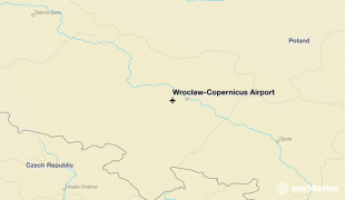
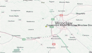
Wrocław–Copernicus Airport (Wrocław–Copernicus Airport)
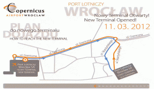
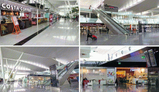
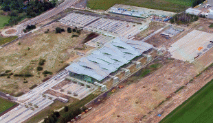
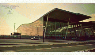
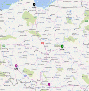
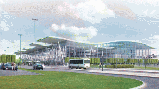
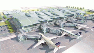
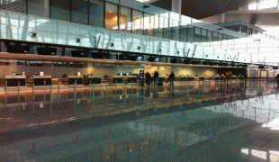
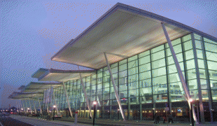
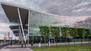
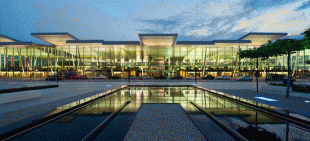
Copernicus Airport Wrocław (Port Lotniczy Wrocław im. Mikołaja Kopernika, Port lotniczy Wrocław-Strachowice) is an international civil-military airport in Wrocław in Lower Silesian Voivodeship in southwestern Poland. It is Poland’s 5th busiest airport. The airport is located 10 km southwest of the city centre, at Graniczna street 190. It has one runway, one passenger terminal, one cargo terminal and one general aviation terminal. Wrocław airport is also often used by Polish Air Force, US Air Force, NATO air force and Heavy Airlift Wing.
Map - Wrocław–Copernicus Airport (Wrocław–Copernicus Airport)
Map


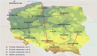
Country - Poland
 |
 |
| Flag of Poland | |
Poland has a temperate transitional climate and its territory traverses the Central European Plain, extending from Baltic Sea in the north to Sudeten and Carpathian Mountains in the south. The longest Polish river is the Vistula, and Poland's highest point is Mount Rysy, situated in the Tatra mountain range of the Carpathians. The country is bordered by Lithuania and Russia to the northeast, Belarus and Ukraine to the east, Slovakia and the Czech Republic to the south, and Germany to the west. It also shares maritime boundaries with Denmark and Sweden.
Currency / Language
| ISO | Currency | Symbol | Significant figures |
|---|---|---|---|
| PLN | Polish złoty | zÅ‚ | 2 |
| ISO | Language |
|---|---|
| PL | Polish language |