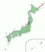
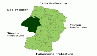
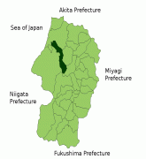
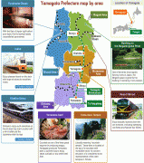
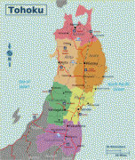
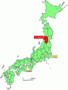
Yamagata Prefecture (Yamagata-ken)
 |
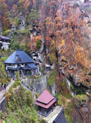
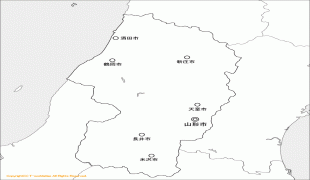
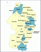
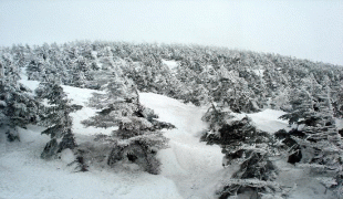
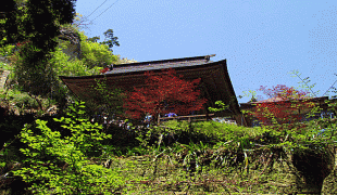
Yamagata is the capital and largest city of Yamagata Prefecture, with other major cities including Tsuruoka, Sakata, and Yonezawa. Yamagata Prefecture is located on Japan's western Sea of Japan coast and its borders with neighboring prefectures are formed by various mountain ranges, with 17% of its total land area being designated as Natural Parks. Yamagata Prefecture formed the southern half of the historic Dewa Province with Akita Prefecture and is home to the Three Mountains of Dewa, which includes the Haguro Five-story Pagoda, a recognised National Treasure of Japan.
The aboriginal Ezo (蝦夷) people once inhabited the area now known as Yamagata. Yamagata and Akita Prefecture were known as Dewa Province until the Meiji Restoration.
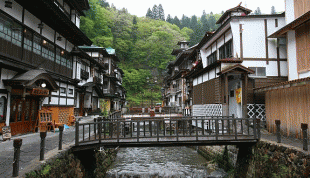
During the Heian period (794–1185), the Fujiwara (藤原) family ruled the area. Yamagata City flourished during the Edo period (1603–1867) due to its status as a castle town and post station, famous for beni (red safflower dye used in the production of handspun silk). In 1689, the famous haiku poet, Matsuo Bashō visited Yamagata during his five-month trip to the northern regions of Japan.
Map - Yamagata Prefecture (Yamagata-ken)
Map


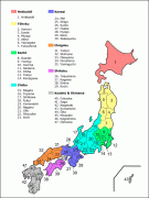

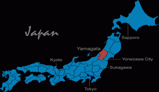

Country - Japan
 |
 |
| Flag of Japan | |
Japan is the eleventh most populous country in the world, as well as one of the most densely populated and urbanized. About three-fourths of the country's terrain is mountainous, concentrating its population of 124.8 million on narrow coastal plains. Japan is divided into 47 administrative prefectures and eight traditional regions. The Greater Tokyo Area is the most populous metropolitan area in the world, with more than 37.2 million residents.
Currency / Language
| ISO | Currency | Symbol | Significant figures |
|---|---|---|---|
| JPY | Japanese yen | ¥ | 0 |
| ISO | Language |
|---|---|
| JA | Japanese language |


