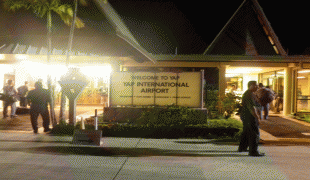
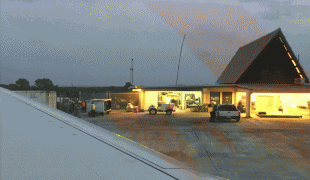
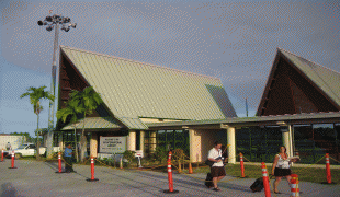
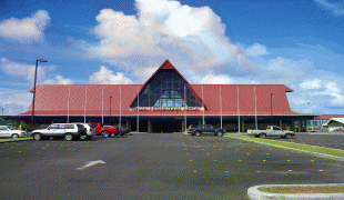
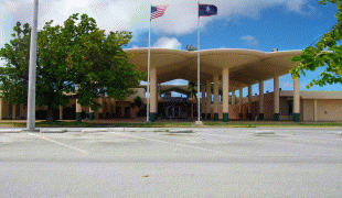
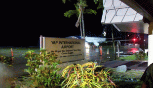
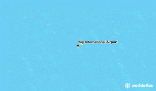
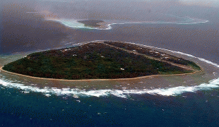
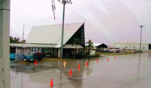
Yap International Airport (Yap International Airport)
Yap International Airport is an airport on Yap, the main island of the State of Yap in the Federated States of Micronesia. The airport receives regular commercial flights from Guam. Pacific Missionary Aviation makes periodic trips to the outer island airfields of Ulithi Atoll and Fais Island. Woleai airfield is currently closed for repairs.
Yap Airport was originally built by the Japanese in WWII as Colonia Airfield, being completed in May 1944.
On April 1, 1944, US Navy aircraft from Task Force 58 sighted Colonia and bombed it. This raid was conducted at the same as air raids were being conducted on the Palau Islands. There were however no aircraft based yet as the 26th Air Flotilla were to based at Colonia after it was completed. In May, there still were no aircraft based. On May 3, the IJN issued Combined Fleet Operations Order No.76, effectively calling for the 265 Kokutai (Air Group), which mainly had Model 21 Zeros and 523 Kokutai with D4Ys to rebase themselves at Yap before the last ten days of May. As part of this, 261 and 263 Kokutai as well as the Kokutai 321 which had night fighters would designate Yap as a dispersal base for them. On May 16, the 202nd and 503rd Kokutai were rebased at Yap. Towards the end of May, half of the Judys from the 523rd were ordered to Colonia.
A few days after an air raid on the Marinas from US Navy aircraft on the 11th of June, they attacked Colonia. As part of the Battle of the Philippine Sea, aircraft from Colonia conducted strikes against the US Carriers. On the 17th, an airstrike of 31 Zeros, 17 Judys and 2 P1Y Frances aircraft were sent to attack ships at the Charan Kanoa area. They damaged LST-84 and despite 44 FM-2 Wildcats in the air, they scored a bomb hit on the escort carrier, USS Fanshaw Bay CVE-70, causing serious damage and killing several onboard.
Colonia was repeatedly attacked from April 1 on until August 10, 1944 when it was deemed neutralized. After August 2, the remaining 8 usable aircraft were sent to Palau.
Units of the IJNAS based at Colonia included the:
* 202 Kokutai - A6M Zero (Late May 1944 - July 1944) - Disbanded
* 261 Kokutai - A6M Zero (Late May 1944 - July 1944) - Disbanded
* 265 Kokutai - A6M Zero (Mid June 1944 - July 1944) - Disbanded
* 523 Kokutai - D4Y Judy (Late May 1944 - July 1944) - Disbanded
| IATA Code | YAP | ICAO Code | PTYA | FAA Code | |
|---|---|---|---|---|---|
| Telephone | Fax | ||||
| Home page |
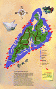
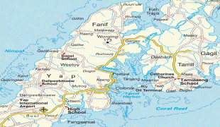
Map - Yap International Airport (Yap International Airport)
Map


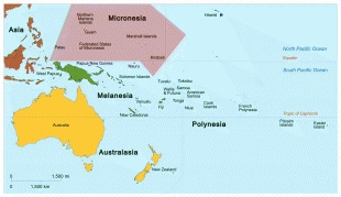
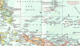

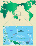
Country - Federated_States_of_Micronesia
 |
 |
| Flag of the Federated States of Micronesia | |
While the FSM's total land area is quite small, the country's waters occupy nearly 3 e6km2 of the Pacific Ocean, giving the country the 14th-largest exclusive economic zone in the world. The sovereign island nation's capital is Palikir, located on Pohnpei Island, while the largest city is Weno, located in the Chuuk Atoll.
Currency / Language
| ISO | Currency | Symbol | Significant figures |
|---|---|---|---|
| USD | United States dollar | $ | 2 |
| ISO | Language |
|---|---|
| EN | English language |