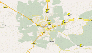
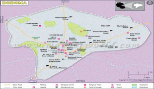
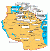
ドドマ (Dodoma)
ドドマ(Dodoma)は、タンザニアの法律上の首都. ドドマ州の州都.
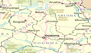
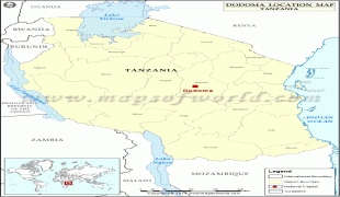
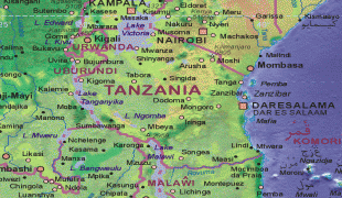
ダルエスサラームから西に486km、アルーシャから南に441kmの、同国中央部に位置する小都市で、タンザニア革命党 (CCM) の本部がある. 1973年にダルエスサラームからの首都移転計画が企画され、1996年2月には立法府がドドマに移ったが、行政機関を中心とする実質的な首都機能は未だダルエスサラームにある. 人口32万人(2002年推計). 近郊にはライオンロックという愛称で呼ばれる岩山があり、ドドマ市内を見渡すことができる.
ダルエスサラームから西に486km、アルーシャから南に441kmの、同国中央部に位置する小都市で、タンザニア革命党 (CCM) の本部がある. 1973年にダルエスサラームからの首都移転計画が企画され、1996年2月には立法府がドドマに移ったが、行政機関を中心とする実質的な首都機能は未だダルエスサラームにある. 人口32万人(2002年推計). 近郊にはライオンロックという愛称で呼ばれる岩山があり、ドドマ市内を見渡すことができる.
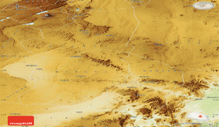
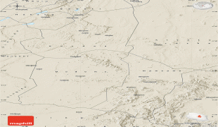
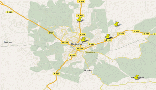
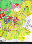
地図 - ドドマ (Dodoma)


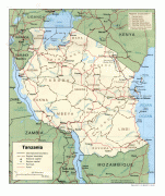
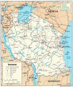
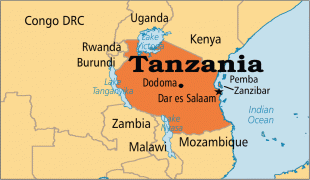
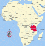

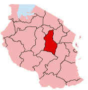
国 - タンザニア
 |
 |
| タンザニアの国旗 | |
1996年に立法府の議事堂が法律上の新首都ドドマに移転されたが、その他の政府官庁は旧首都ダルエスサラームにある.
通貨 / 言語
| ISO | 通貨 | シンボル | 有効数字 |
|---|---|---|---|
| TZS | タンザニア・シリング (Tanzanian shilling) | Sh | 2 |